2024
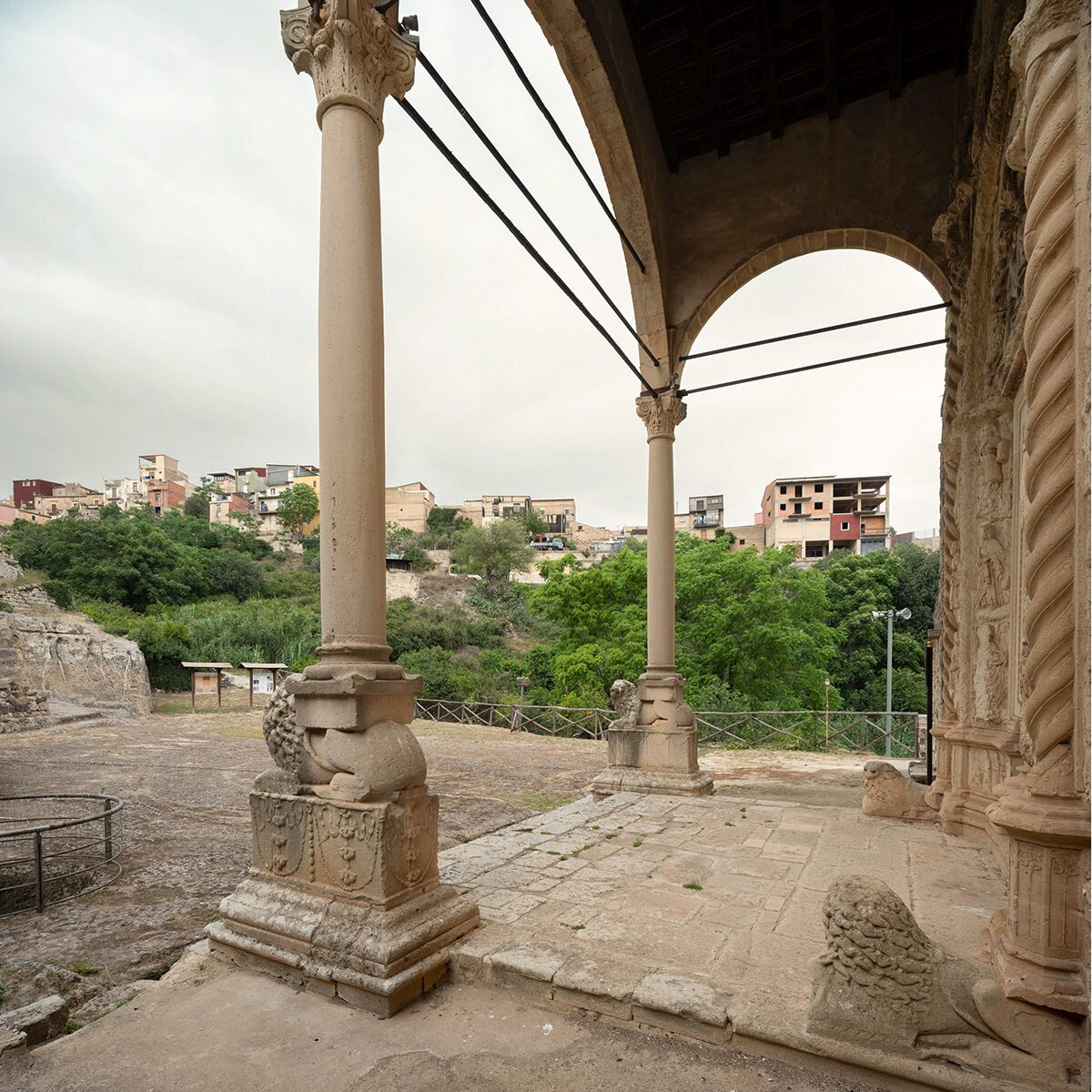
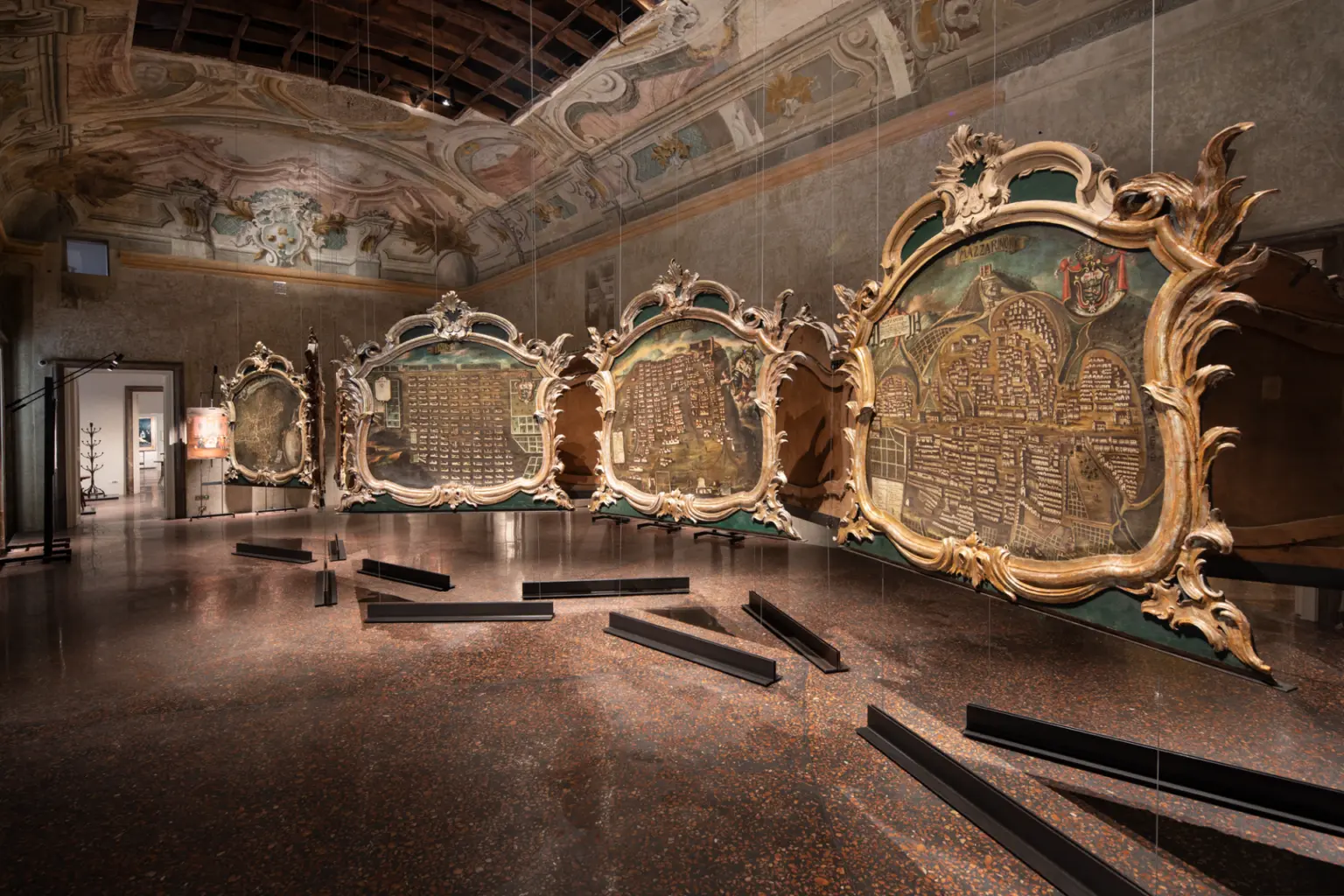
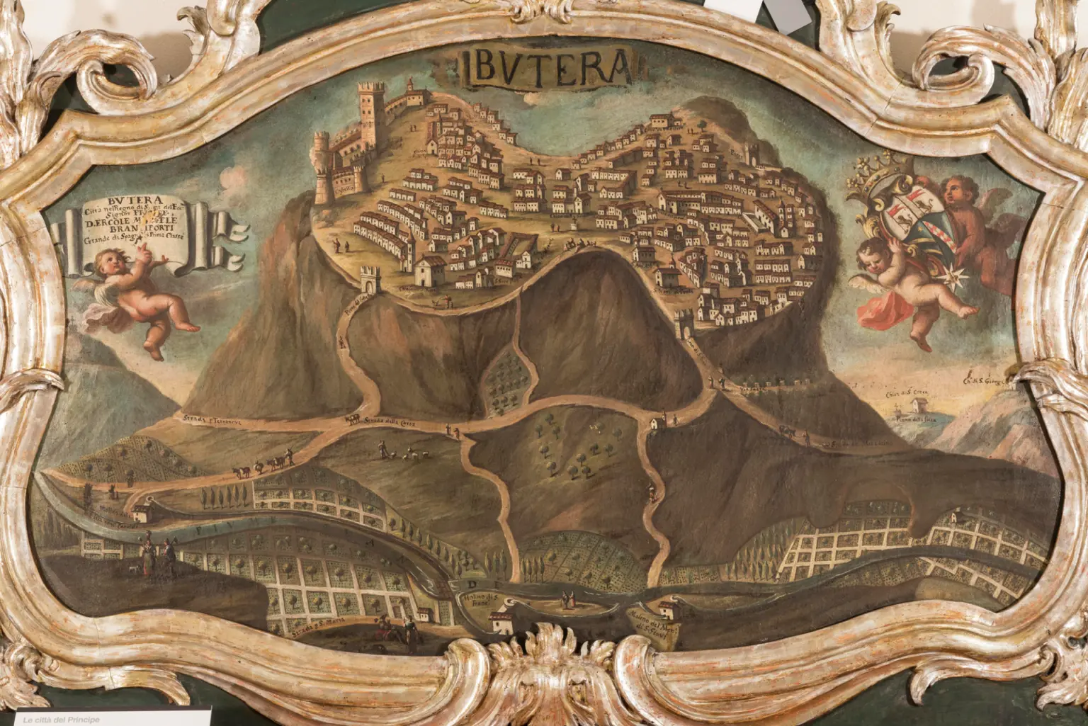
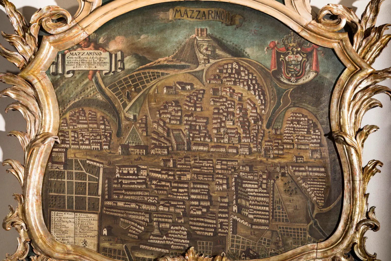
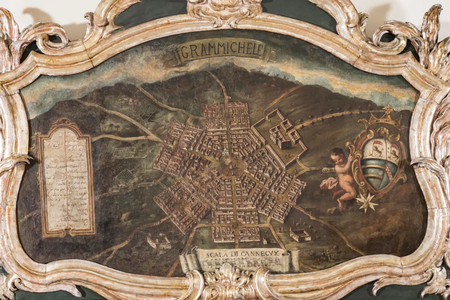
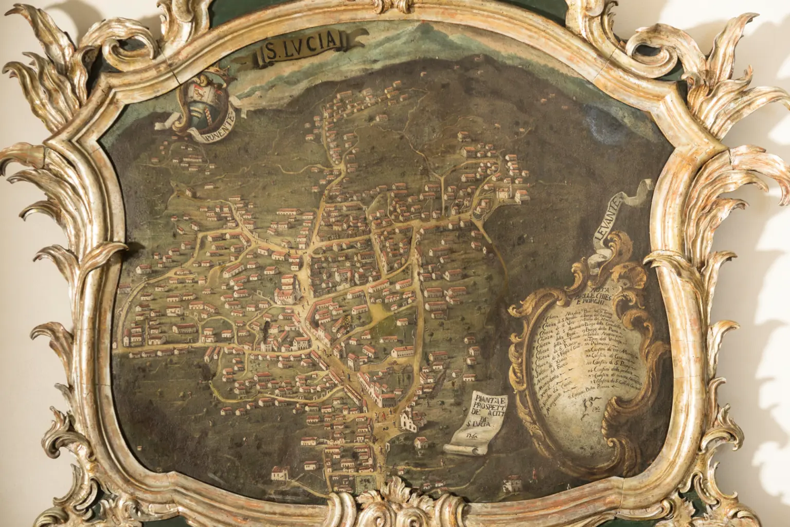
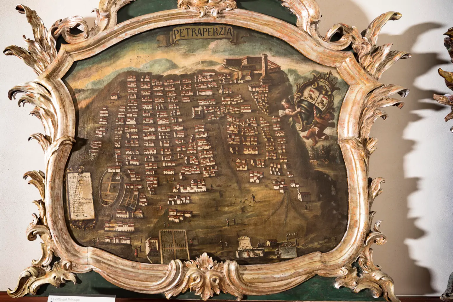
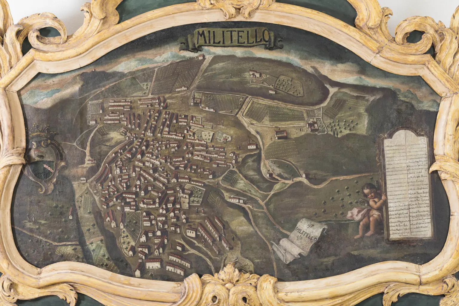
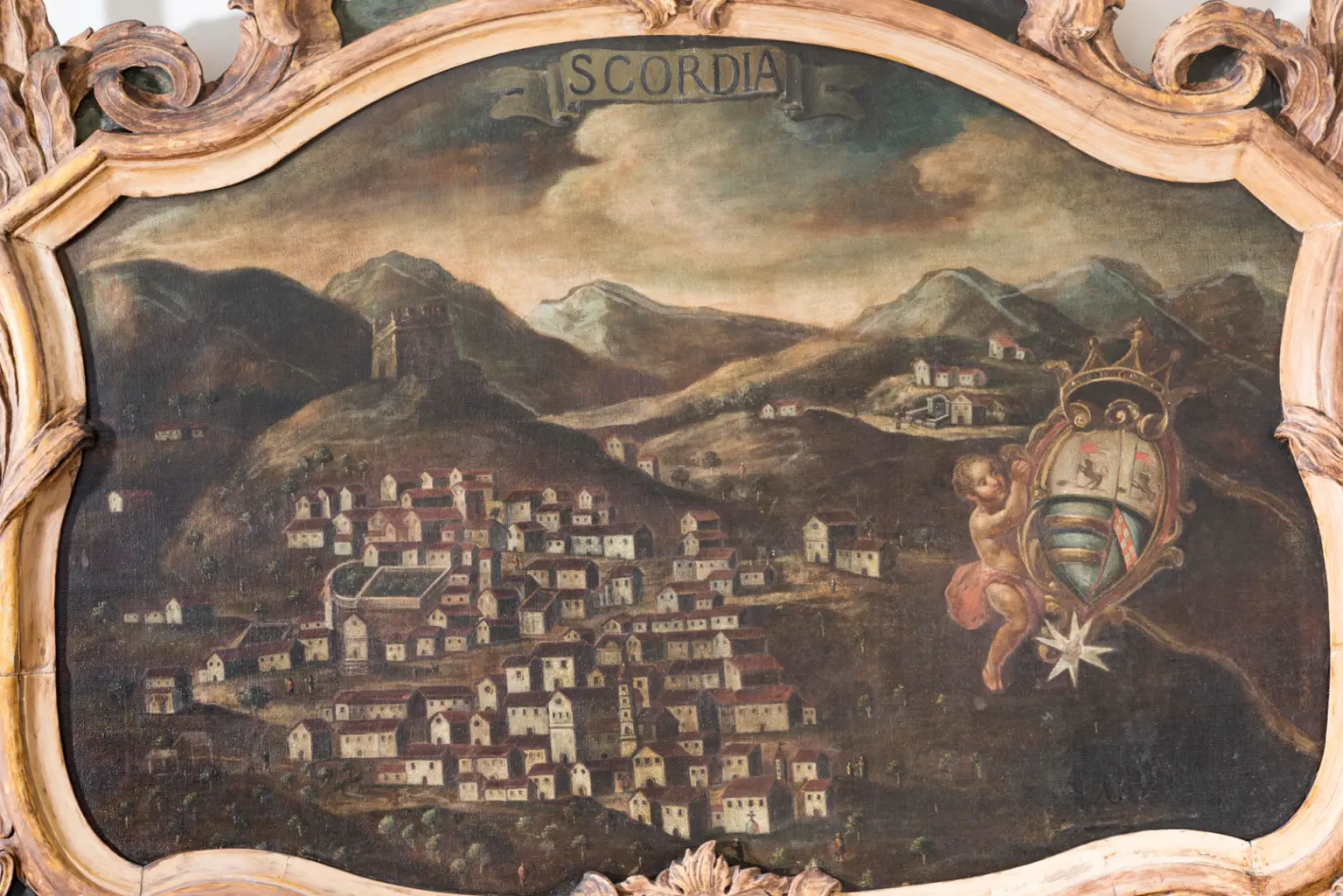
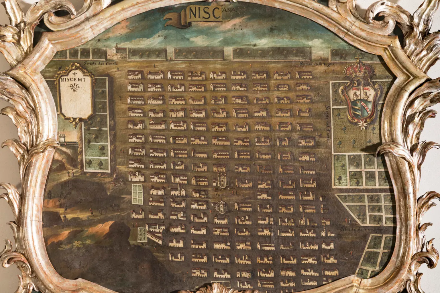
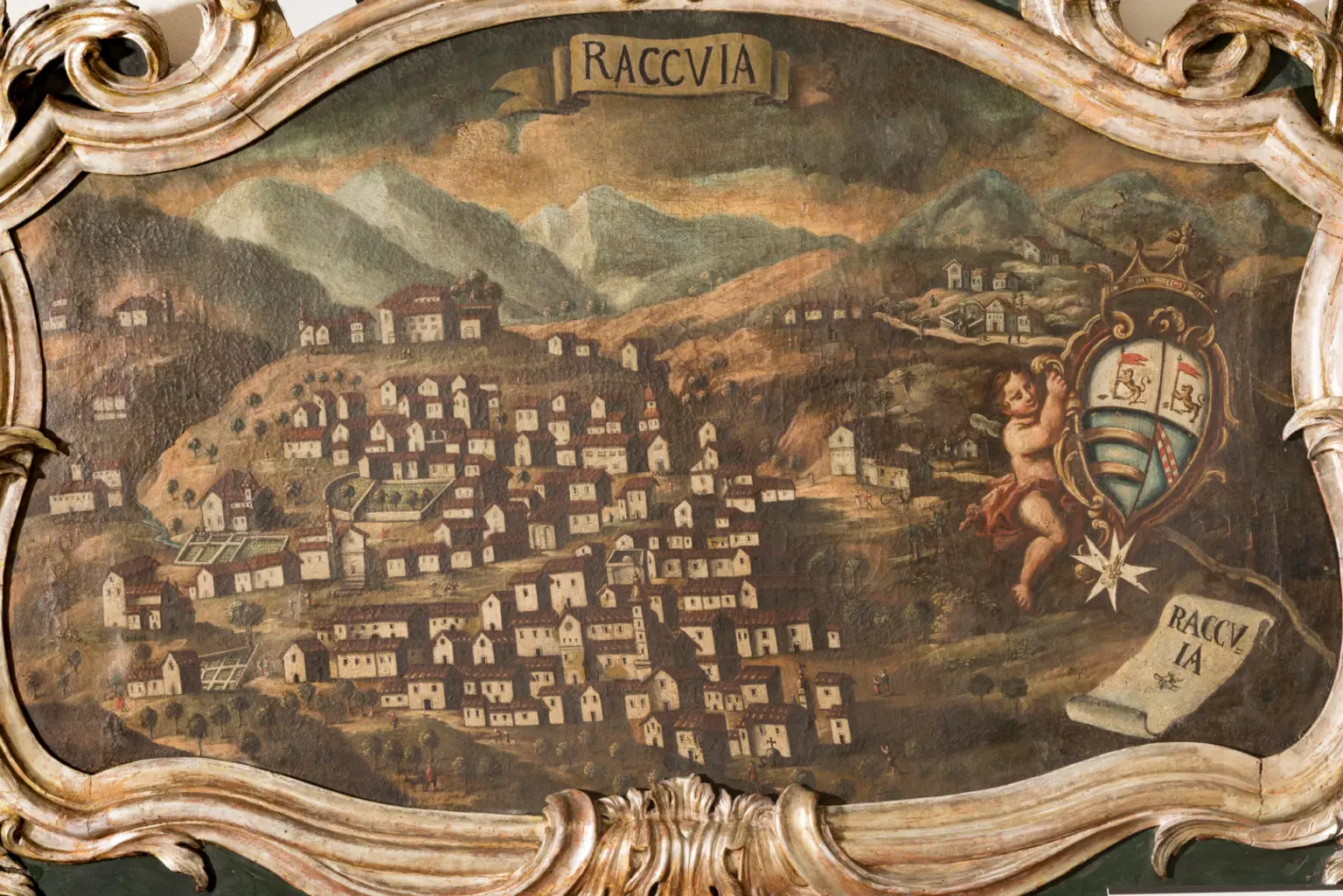
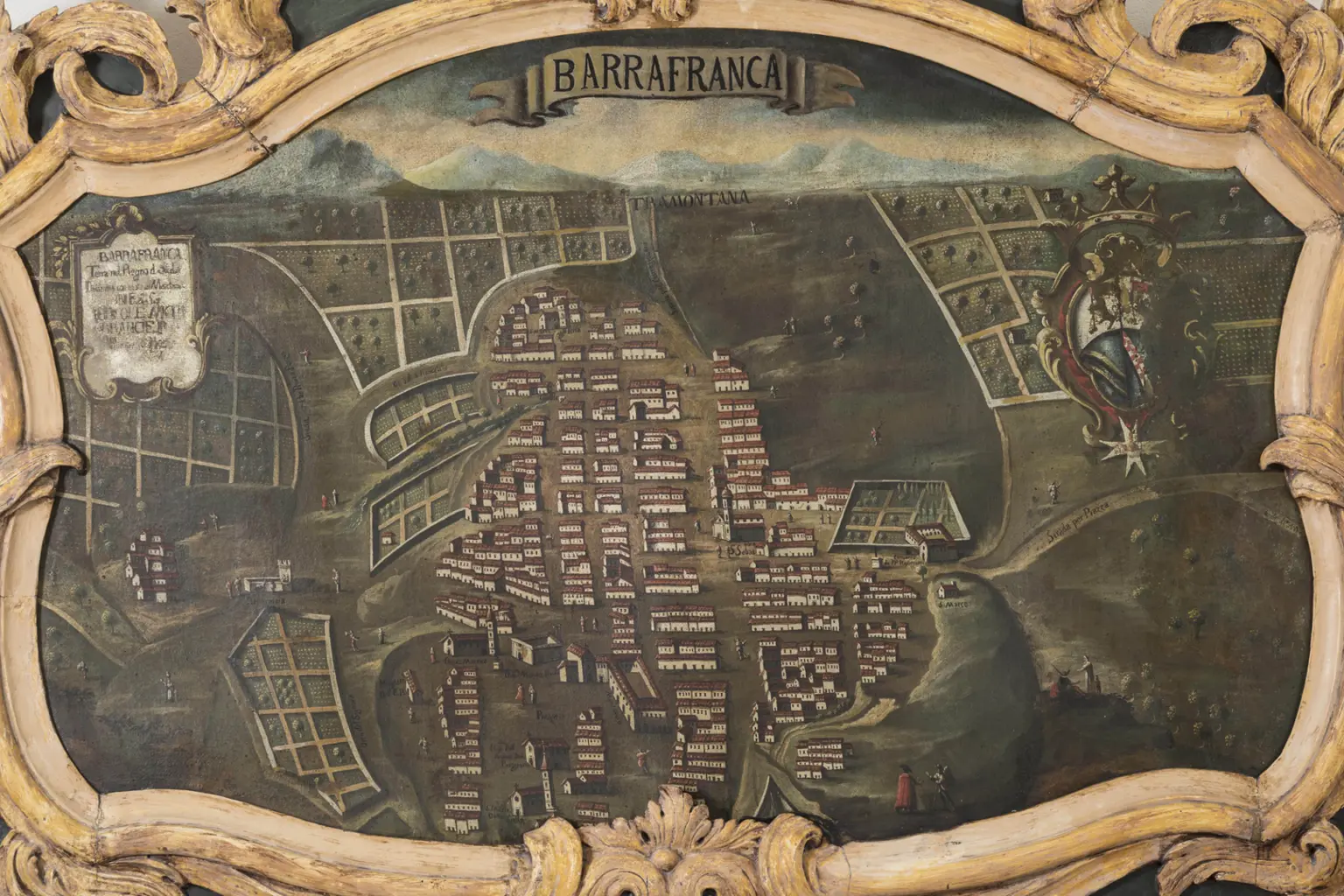
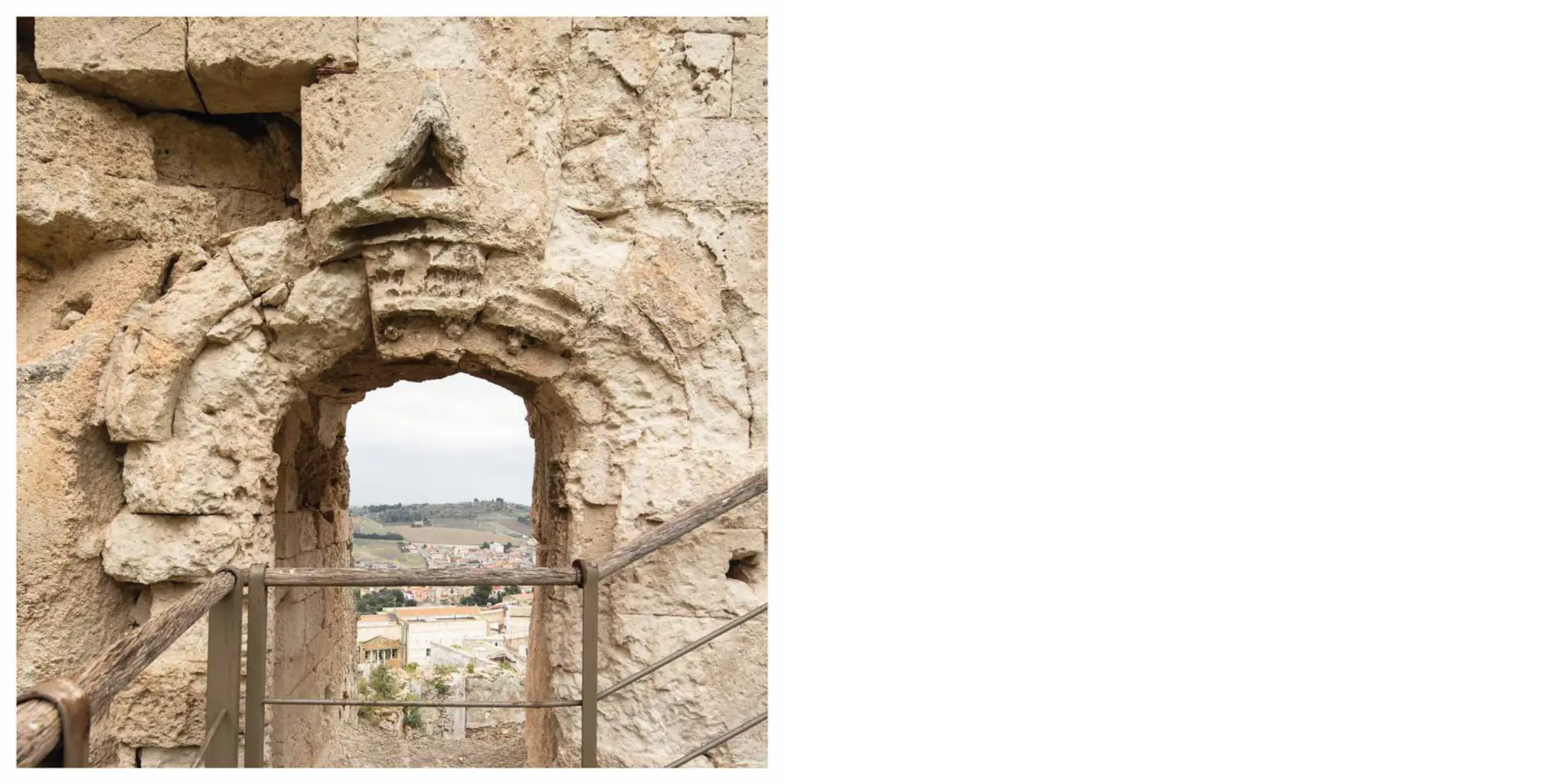
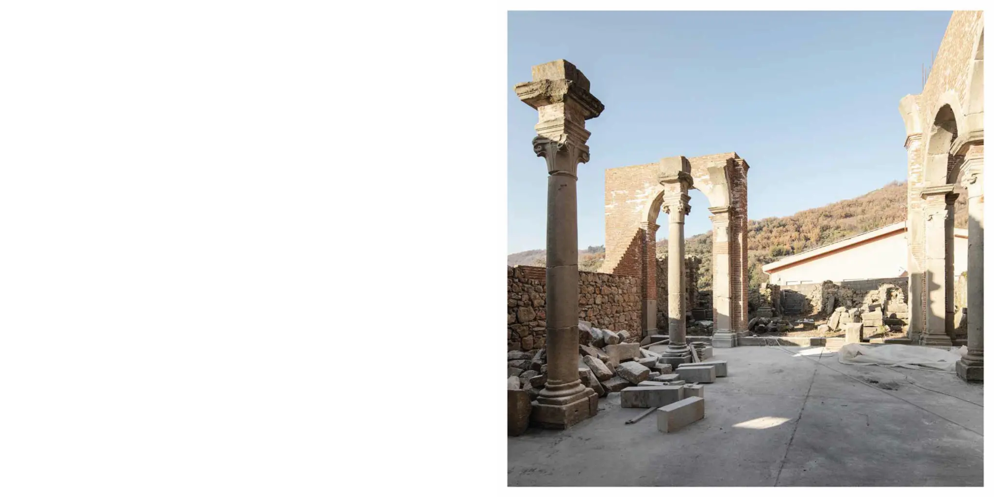
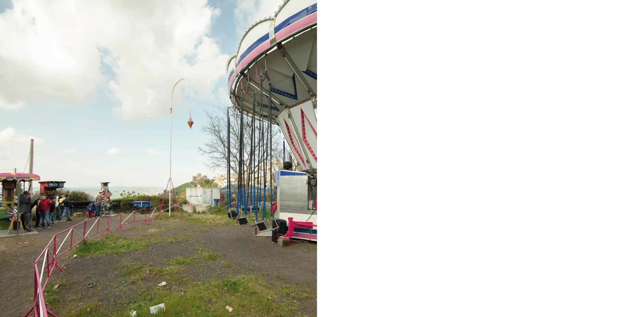
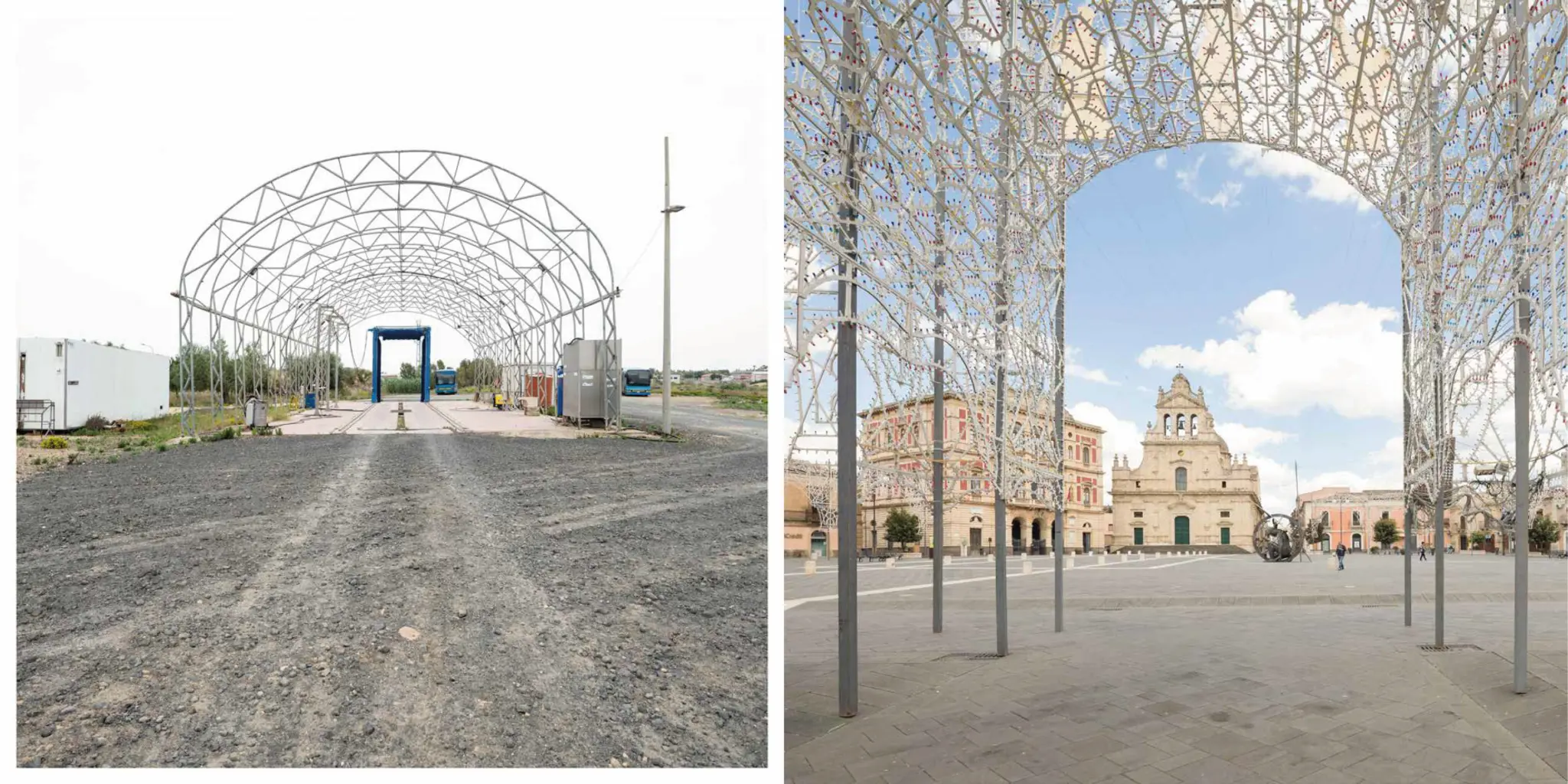
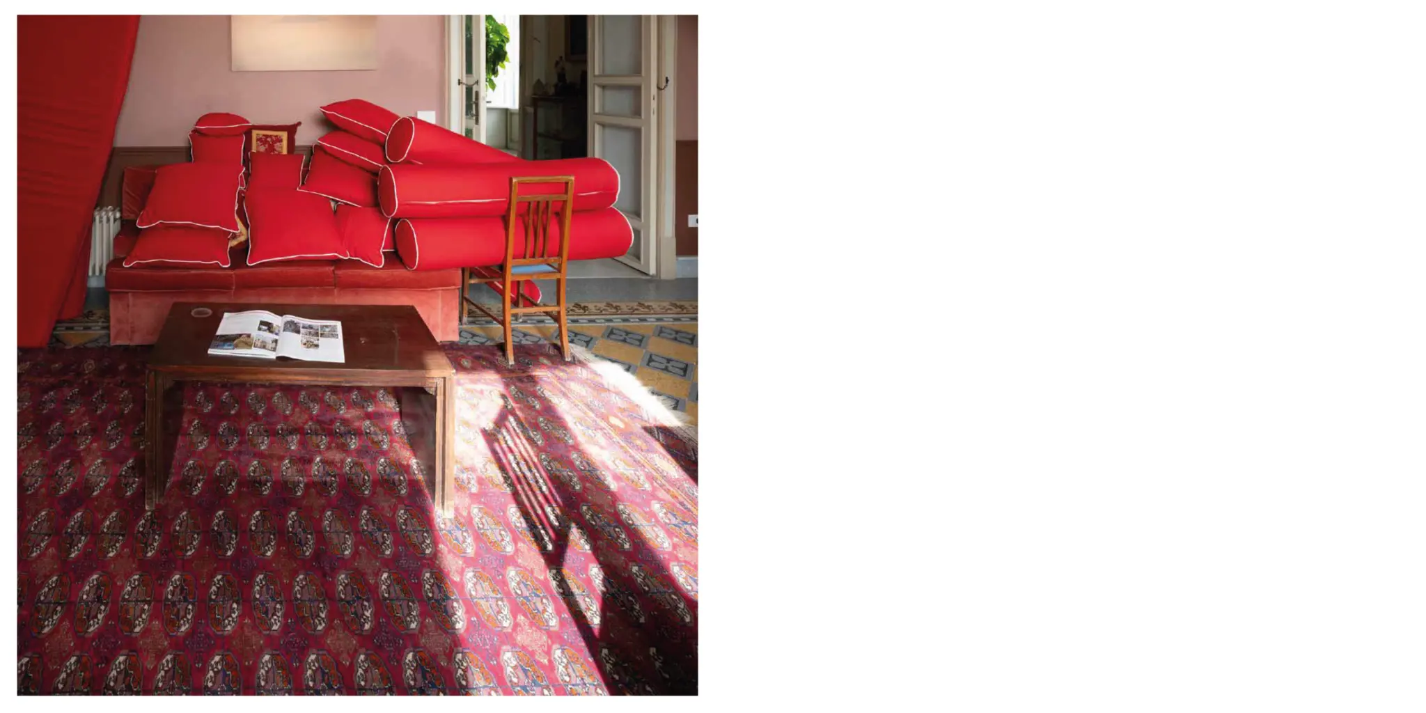
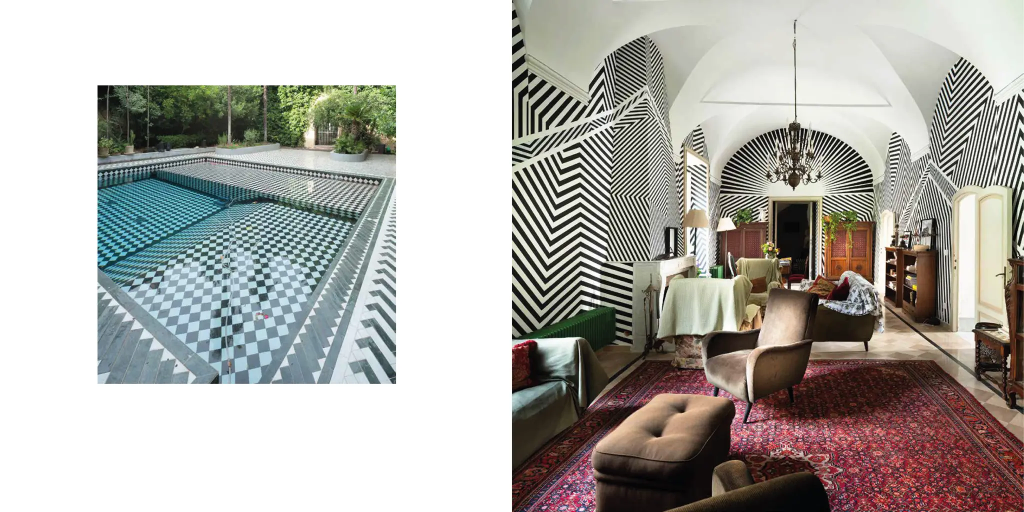
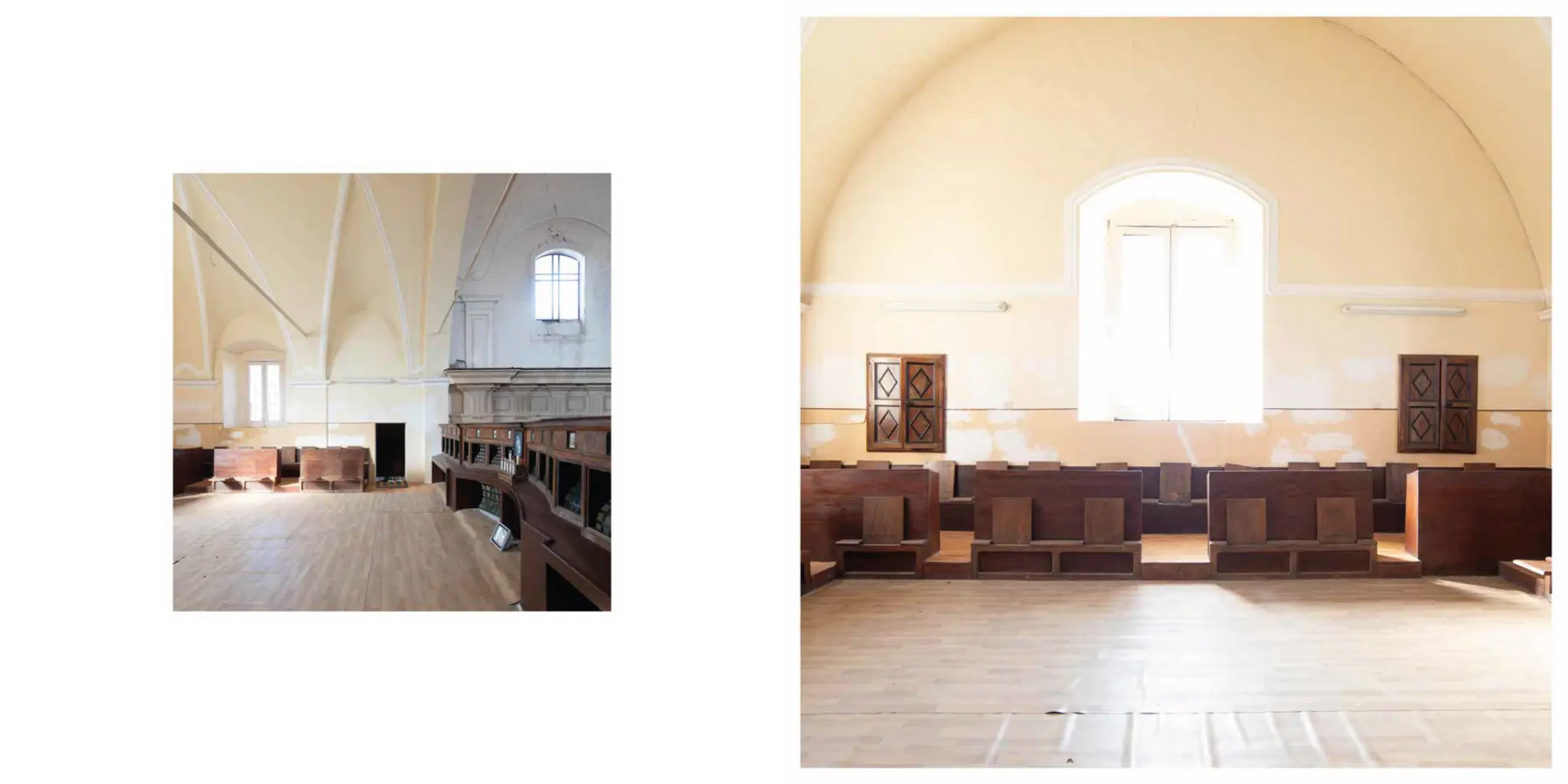
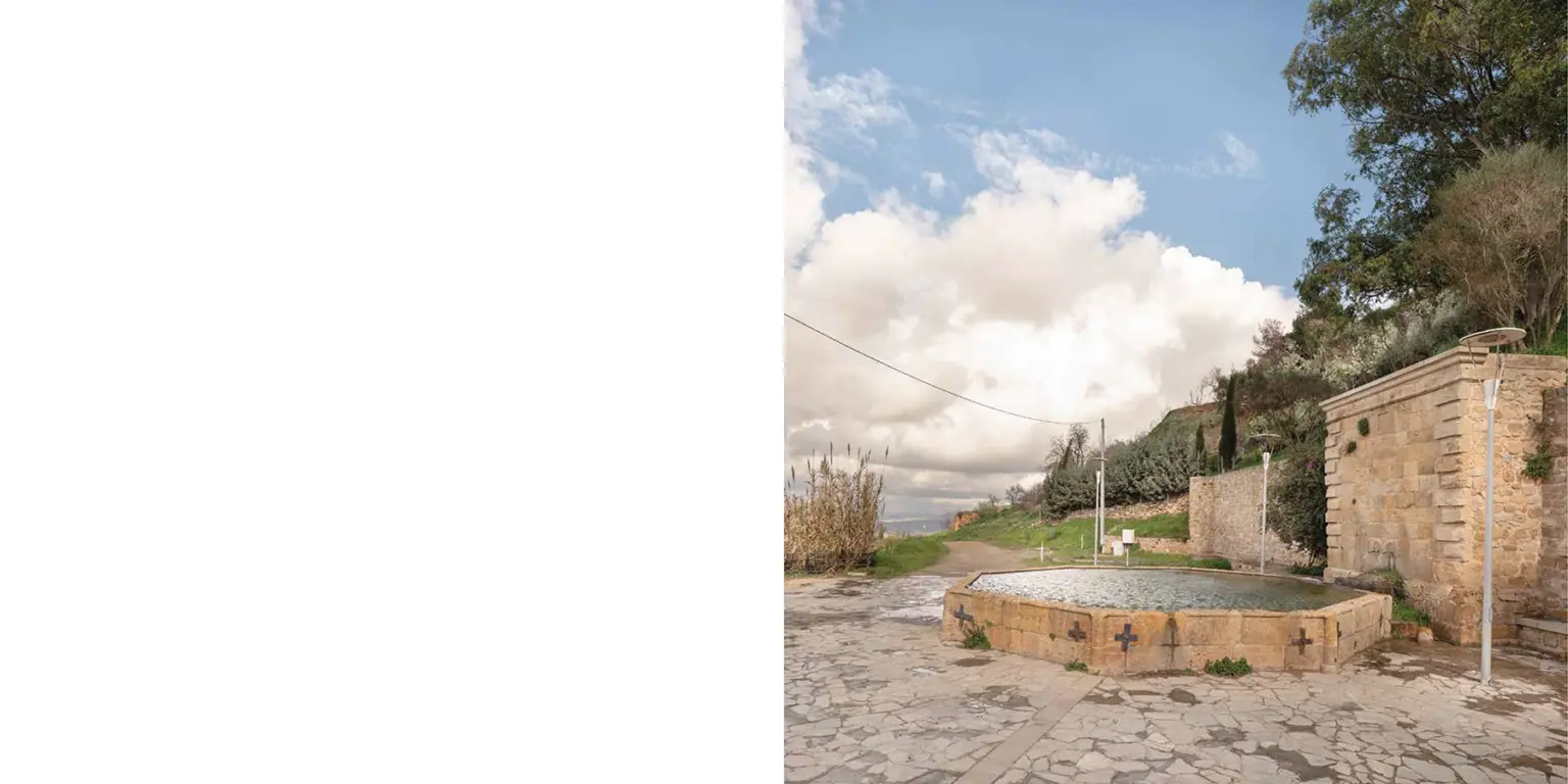
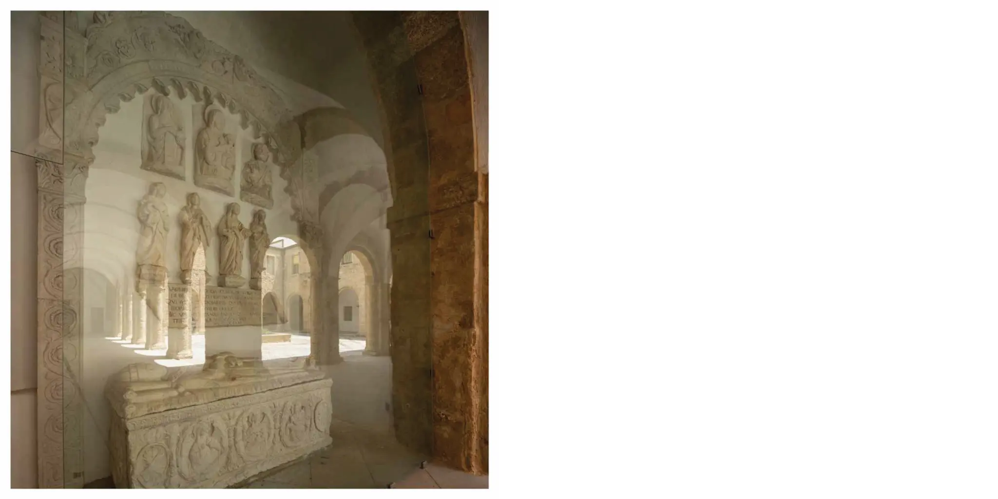
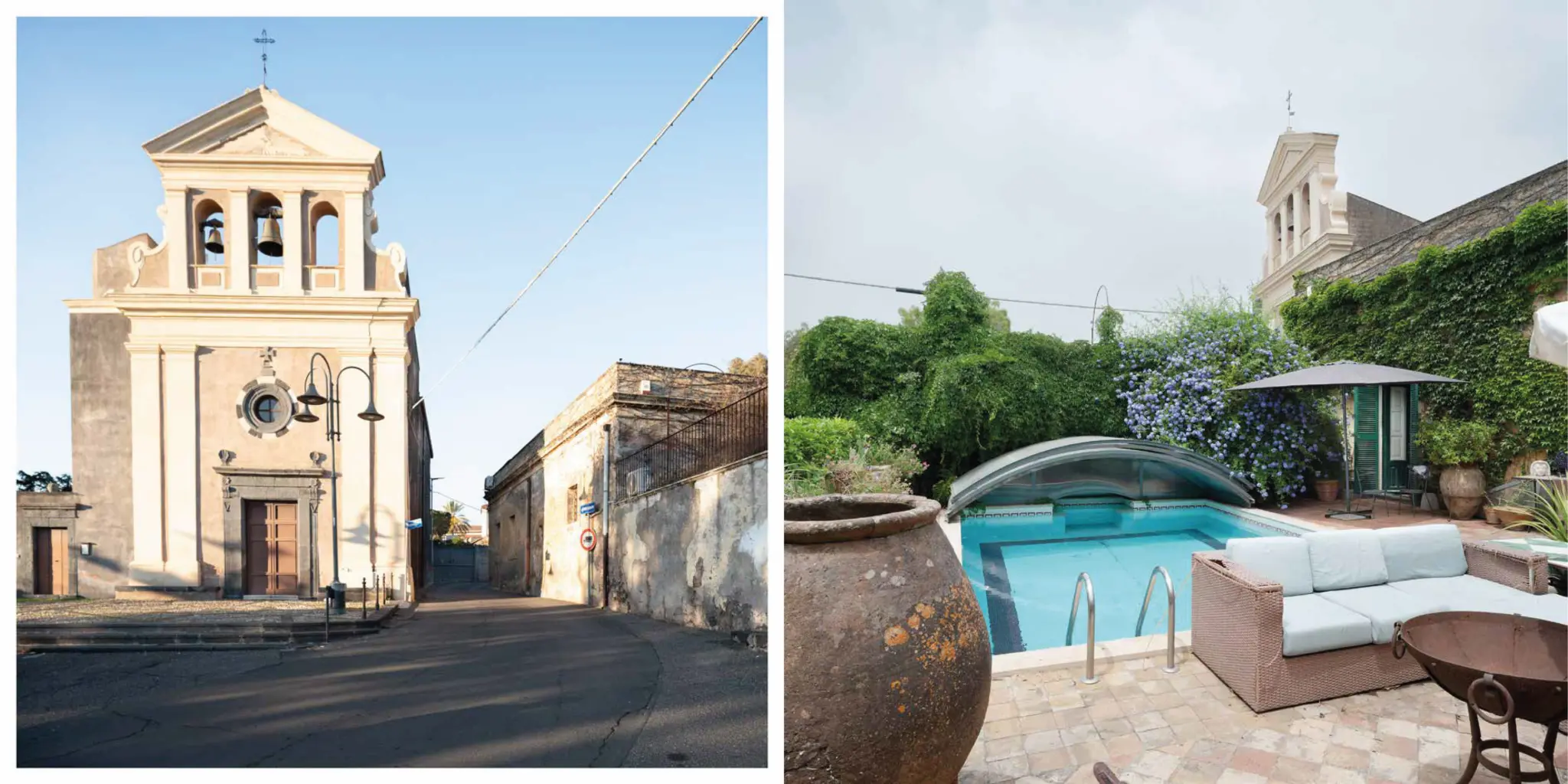
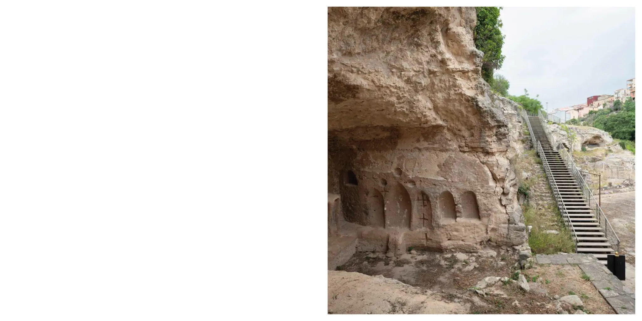
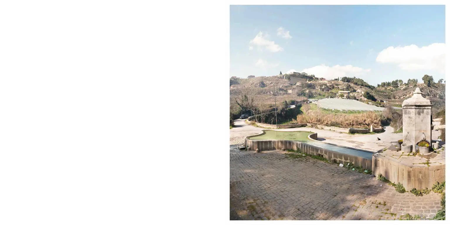
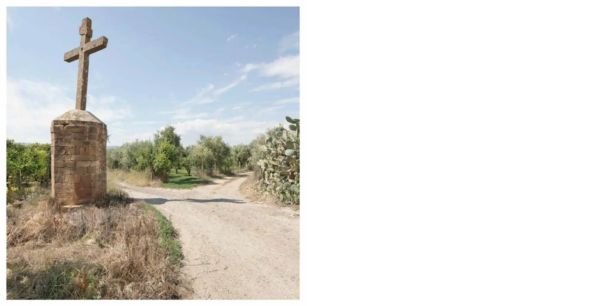
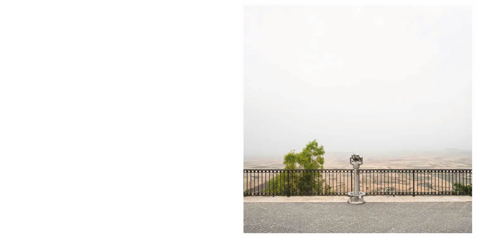
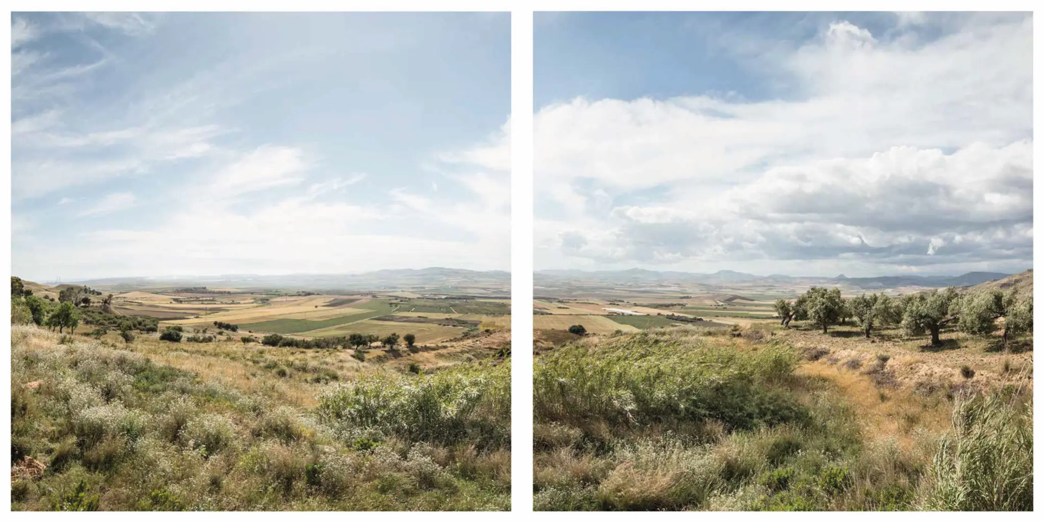
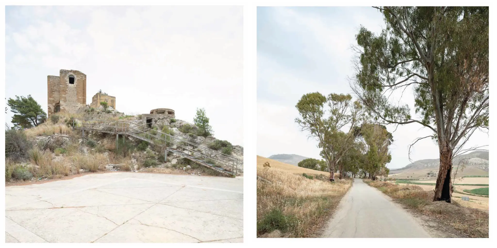
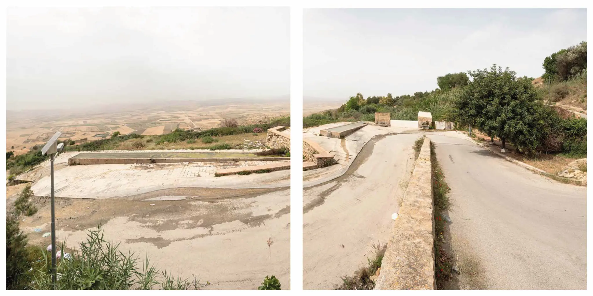
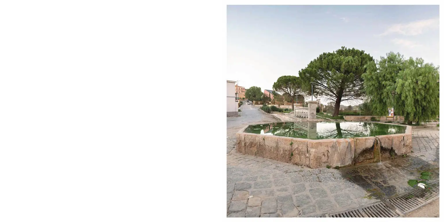
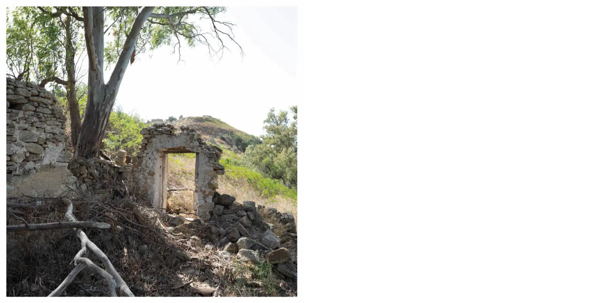
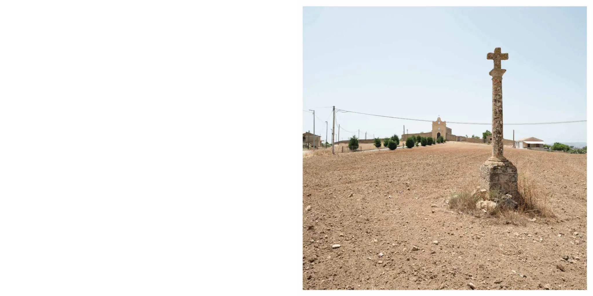
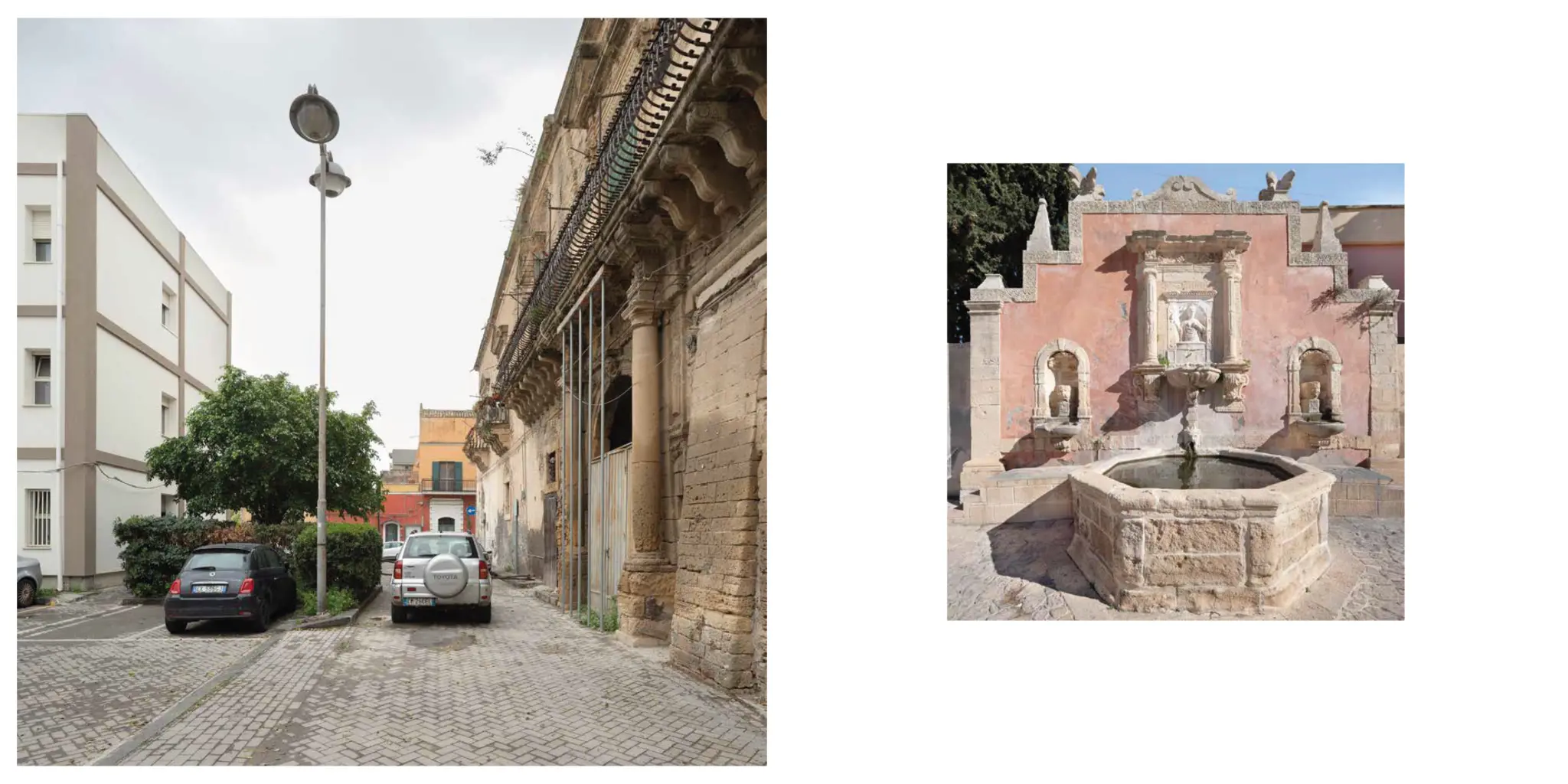
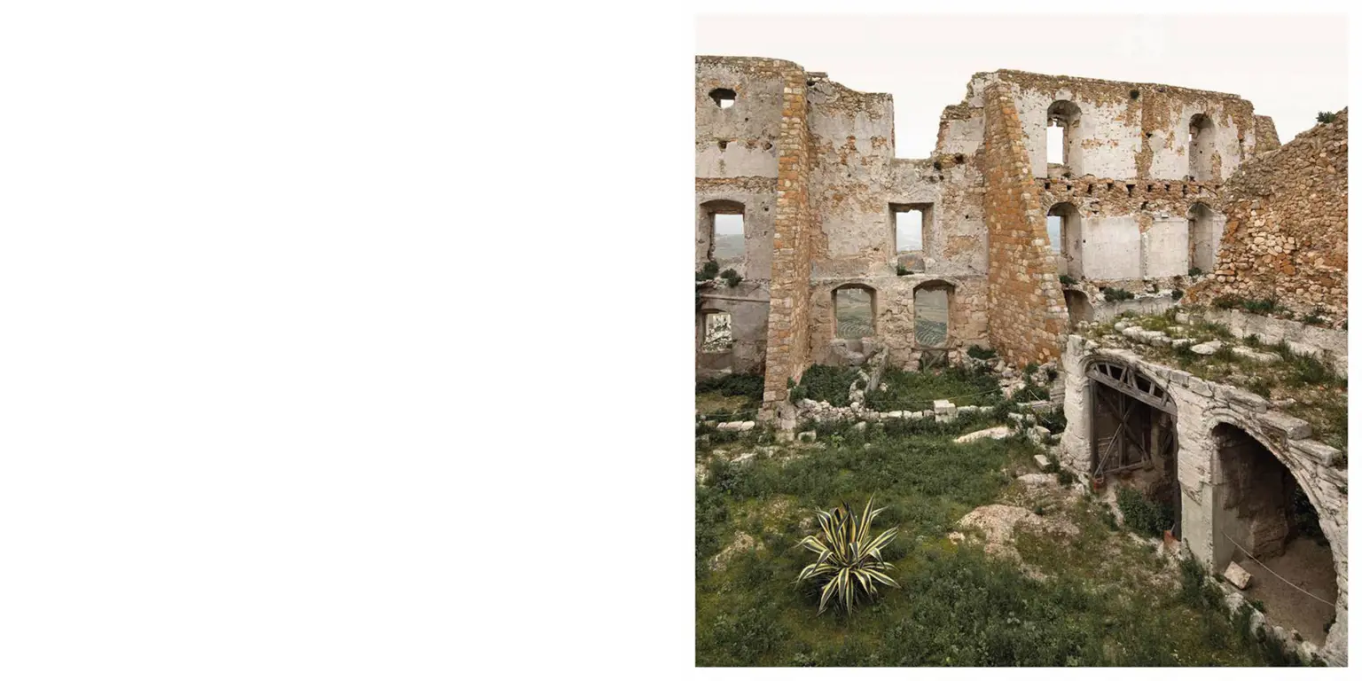
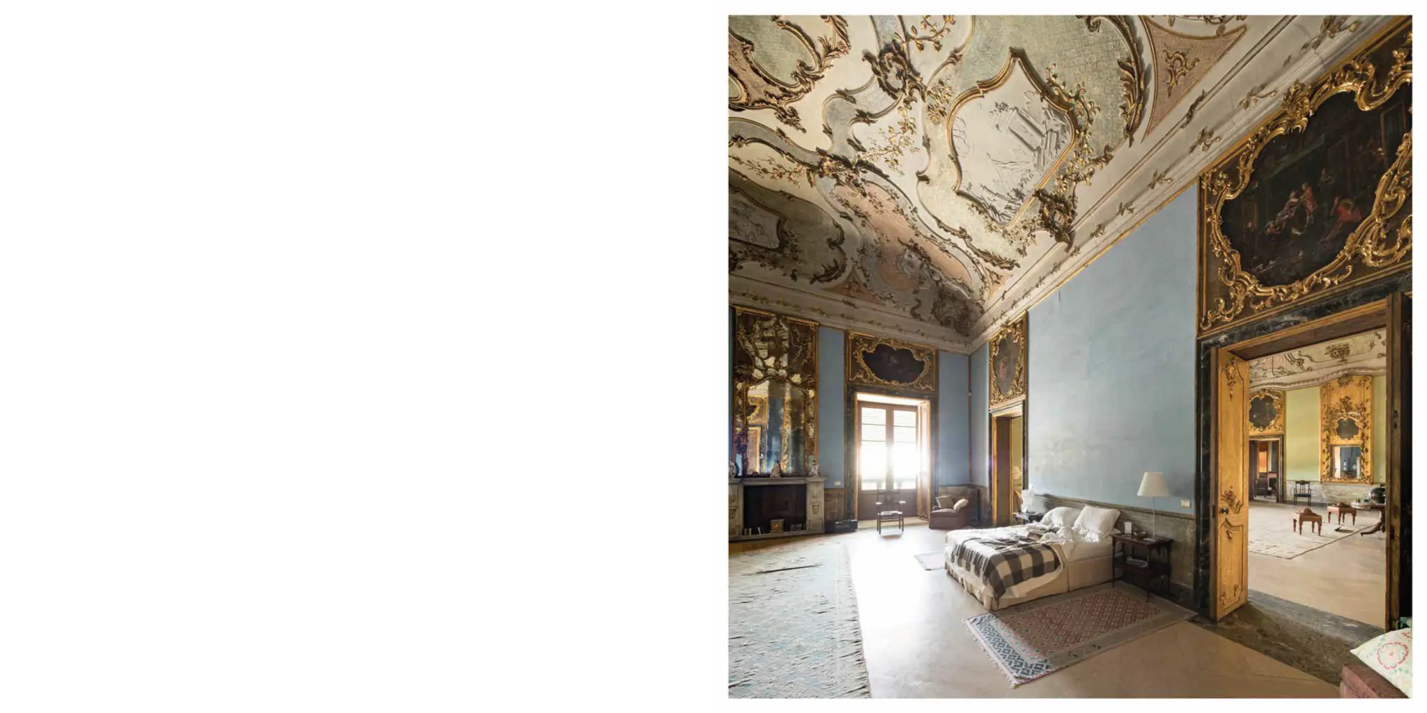
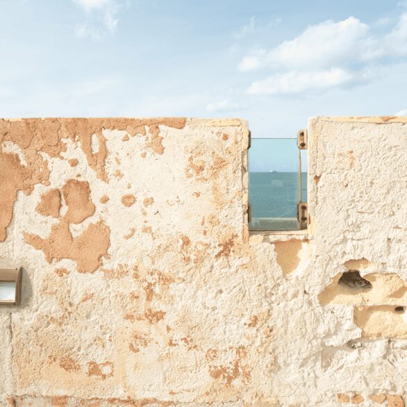
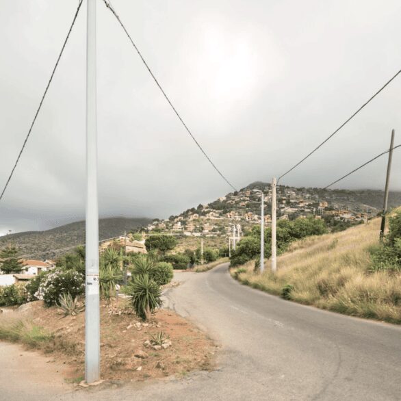
Mappa-mondo. Photographs of ten towns in Sicily, a project that won Strategia Fotografia 2023, conceived by Sandro Scalia and presented by the Accademia di Belle Arti di Palermo in collaboration with the Fondazione Palazzo Butera, brought together six photographers – Giorgio Barrera, Martina della Valle, Sebastiano Raimondo, Moira Ricci, Sandro Scalia, Maria Vittoria Trovato – working in ten Sicilian towns (Mazzarino, Santa Lucia, Pietraperzia, Niscemi, Barrafranca, Grammichele, Butera, Raccuja, Militello, Scordia) that were once fiefs of the Branciforte family. Their work took as its starting point the eighteenth-century paintings of these fiefs held at Palazzo Butera, now home to the great art collection of Francesca and Massimo Valsecchi. The volume also includes photographs of Raccuja by Giovanni Chiaramonte, who took part in the call but passed away prematurely just as the project was getting under way. Texts by Claudio Gulli, director of Palazzo Butera, Monica Maffioli, historian of photography, and Roberta Valtorta, historian of photography and curator of the project.
The project originates in the meticulous documentation of the prince’s ten towns carried out between 2016 and 2019 by some twenty students of the Accademia di Belle Arti di Palermo under the guidance of Sandro Scalia, comparing the description provided by the eighteenth-century maps with the present-day state of the territories. Their photographs were the first important body of material that allowed the commissioned photographers to encounter the ten Sicilian towns for the first time.
Catalogue published by Dario Cimorelli Editore.
The legacy of the Branciforte family
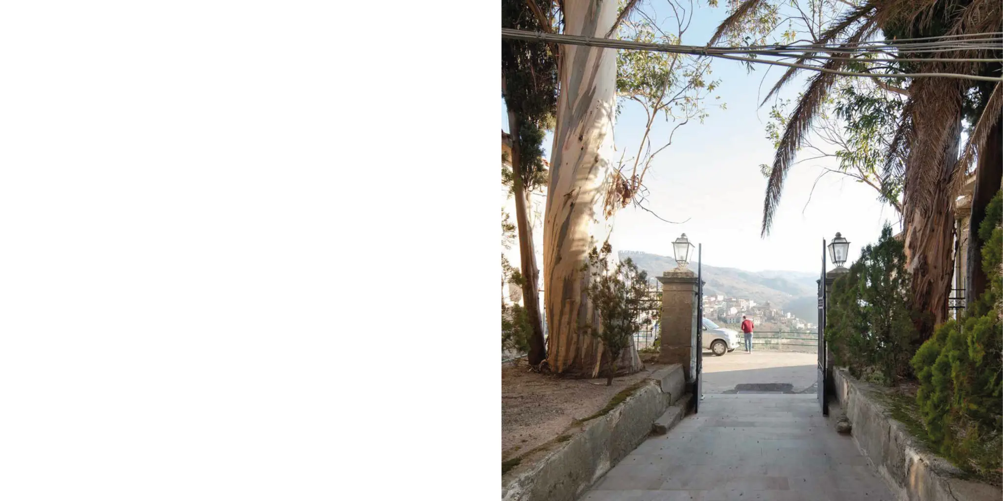
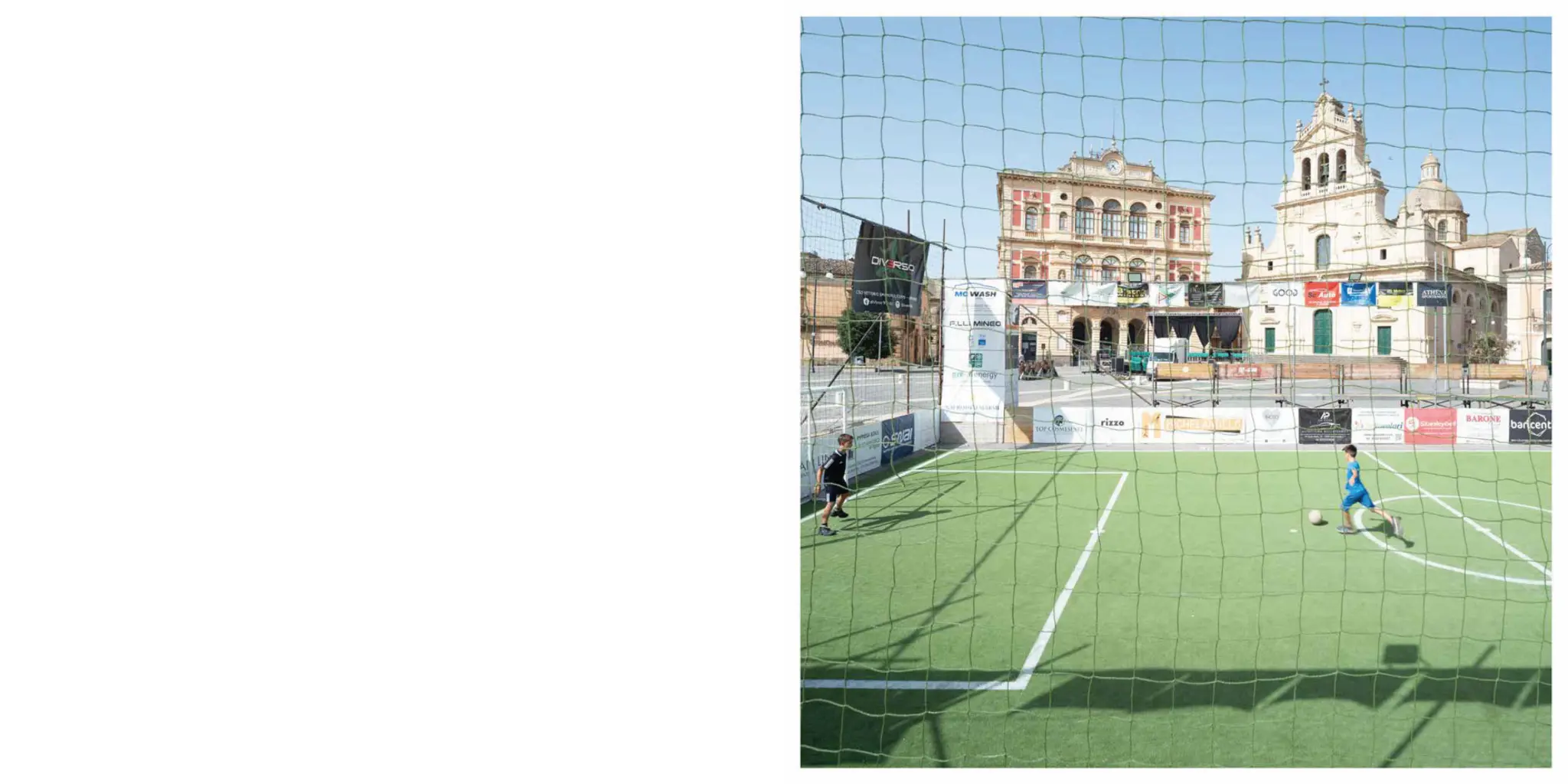
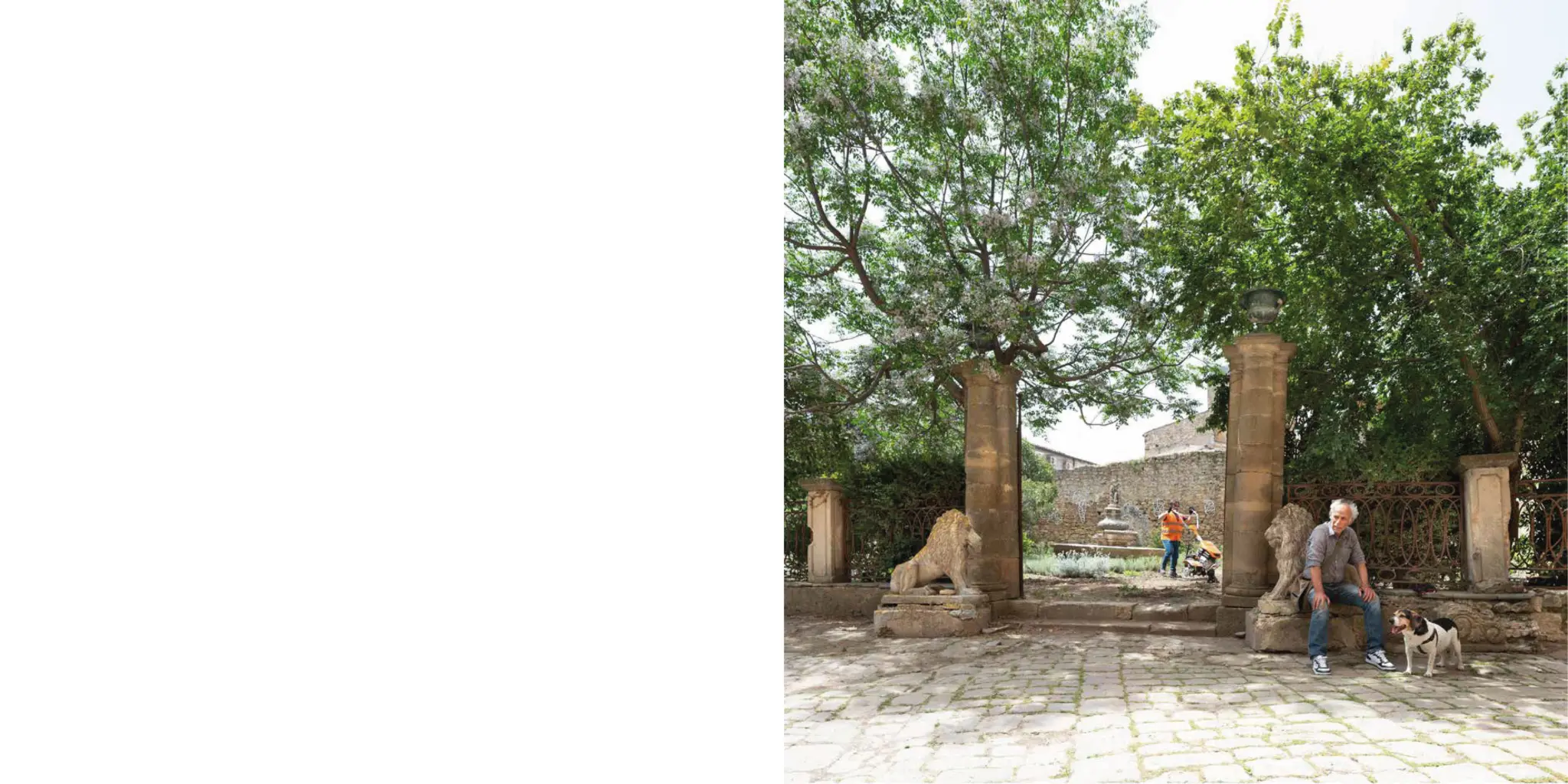
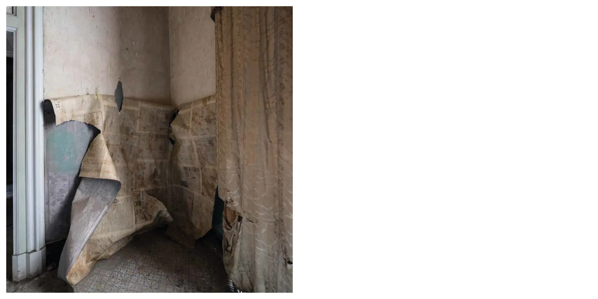
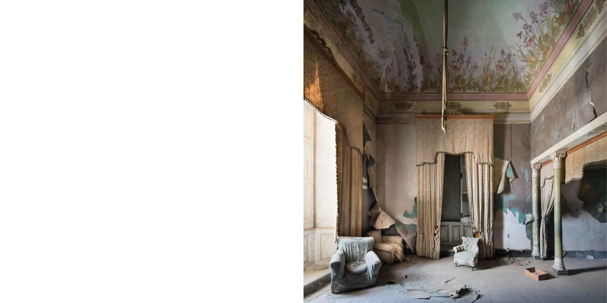
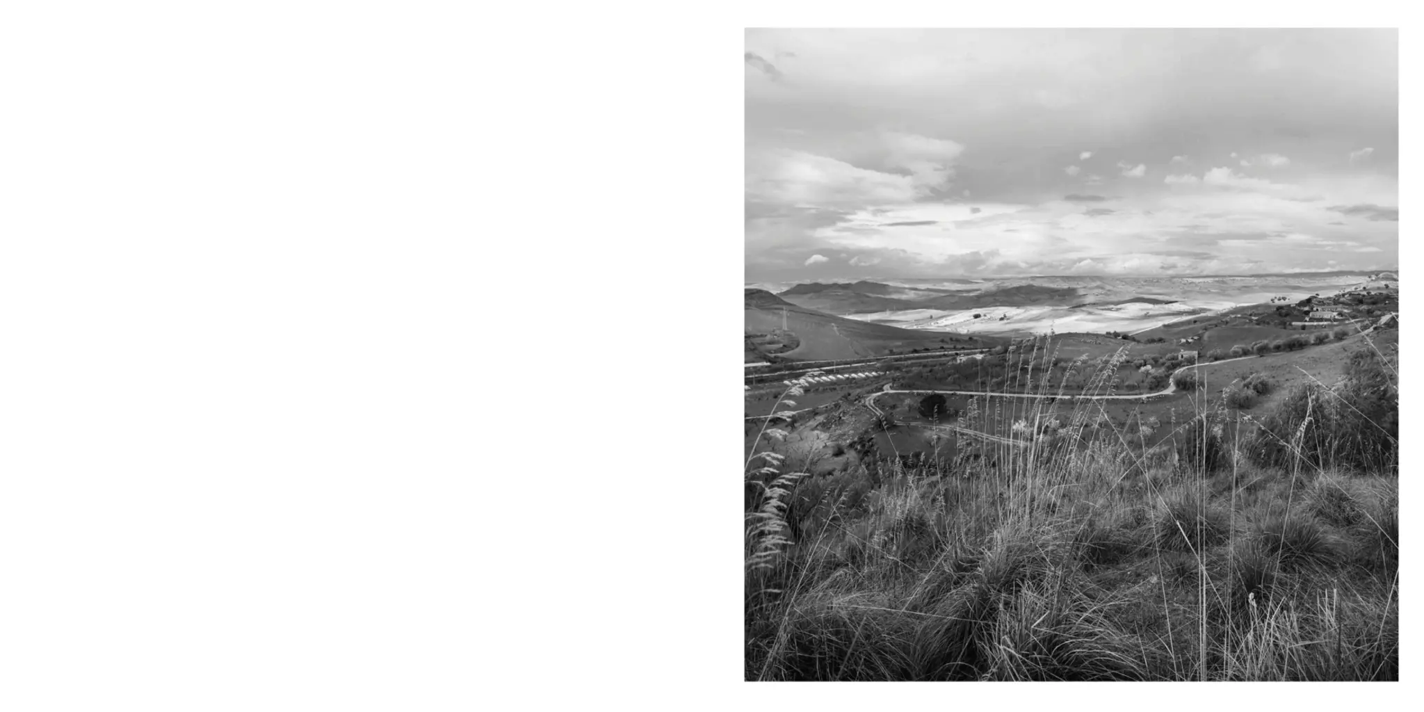
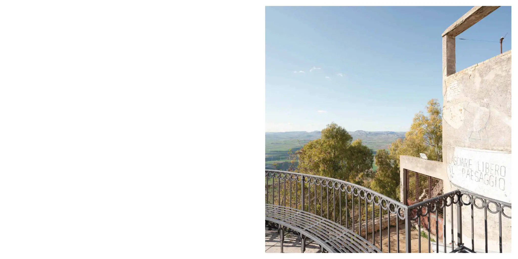
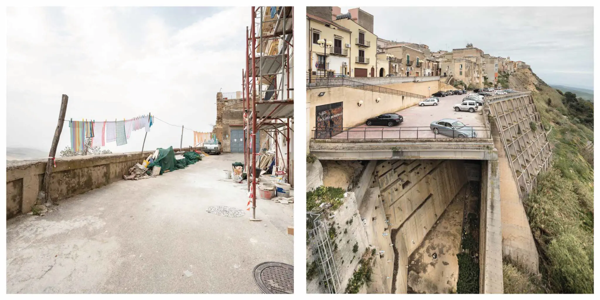
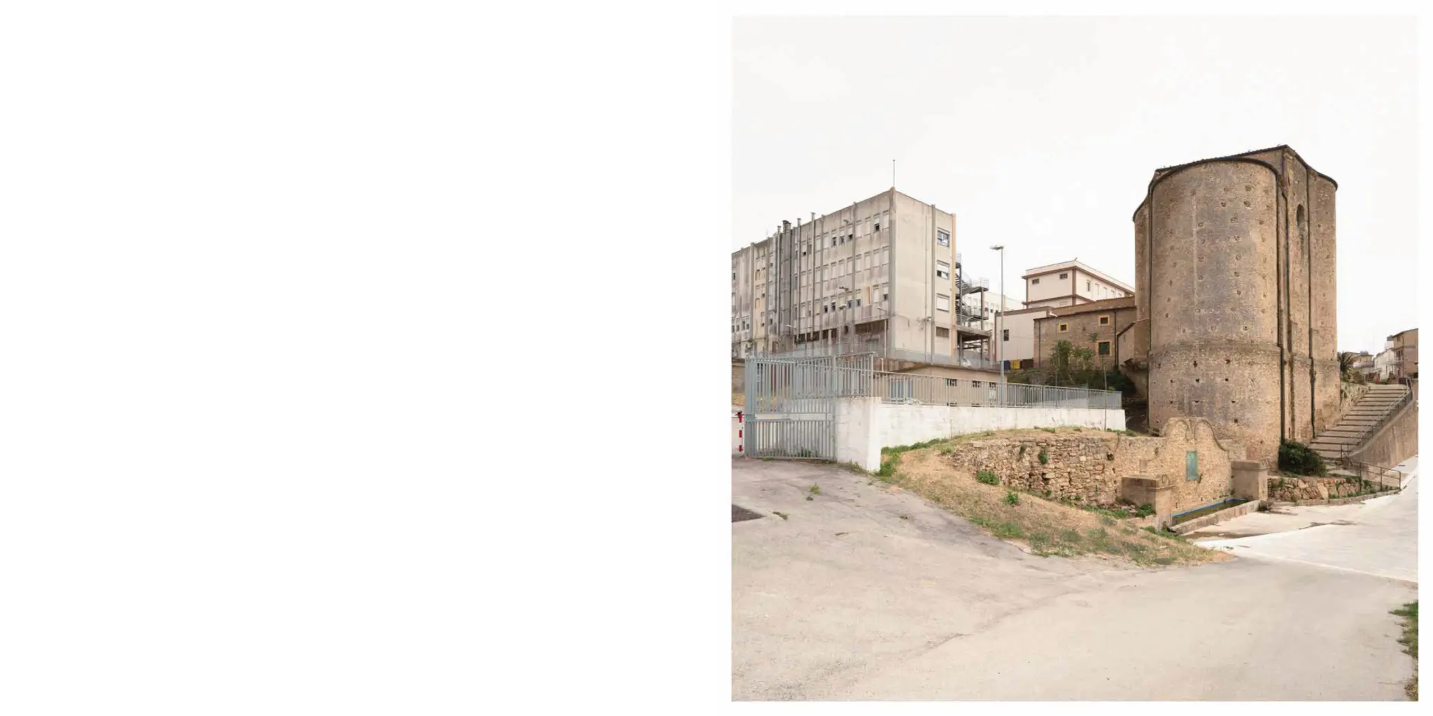
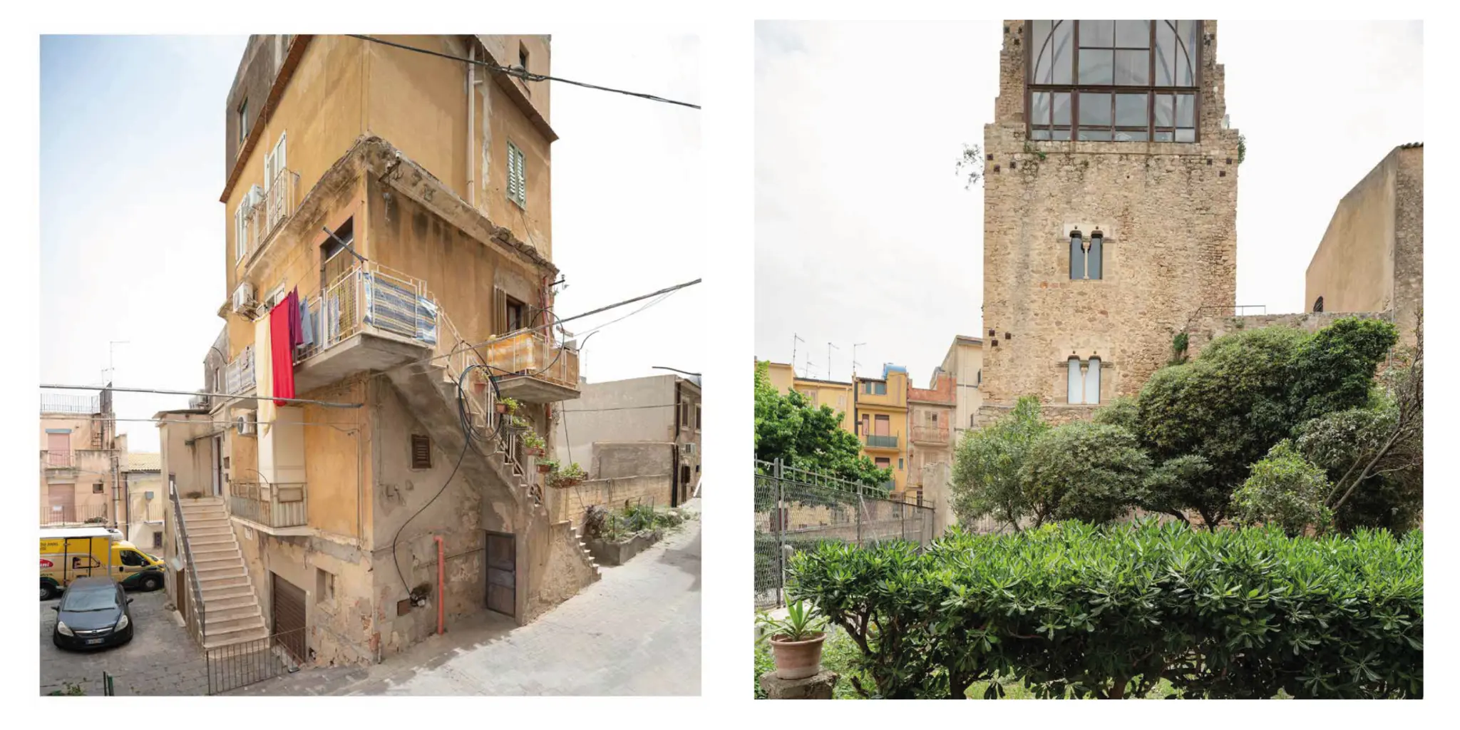
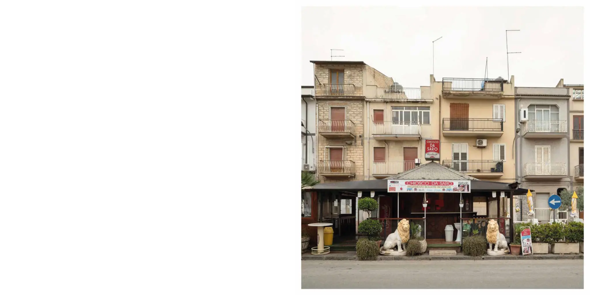
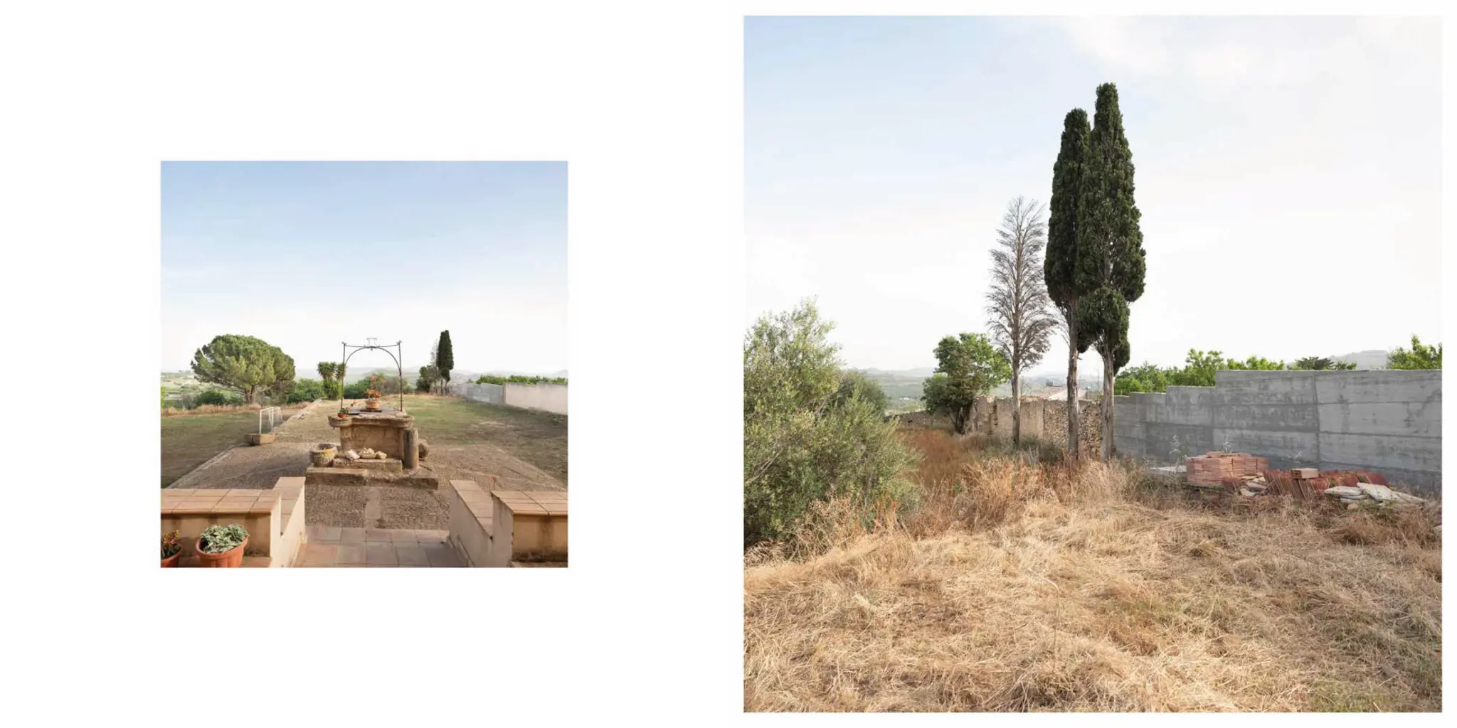
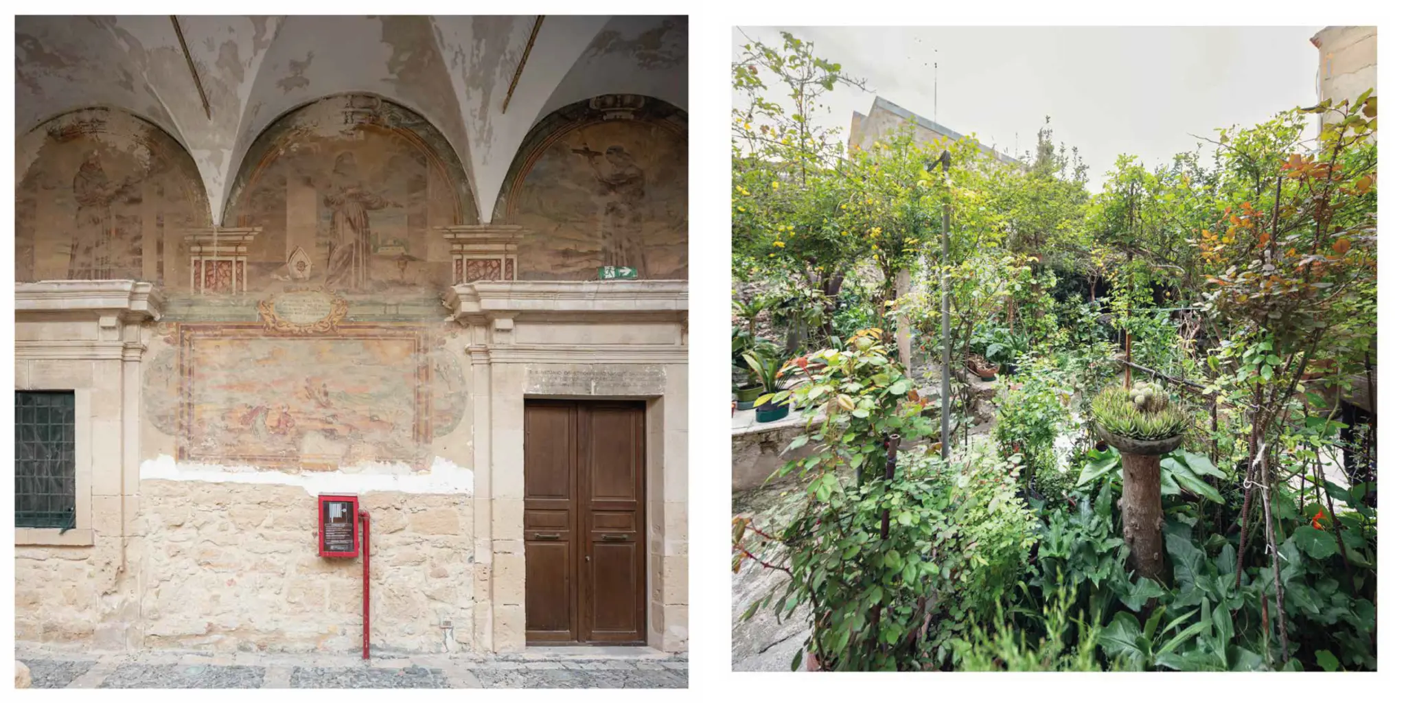
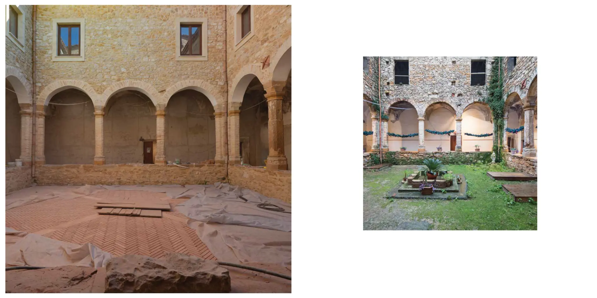
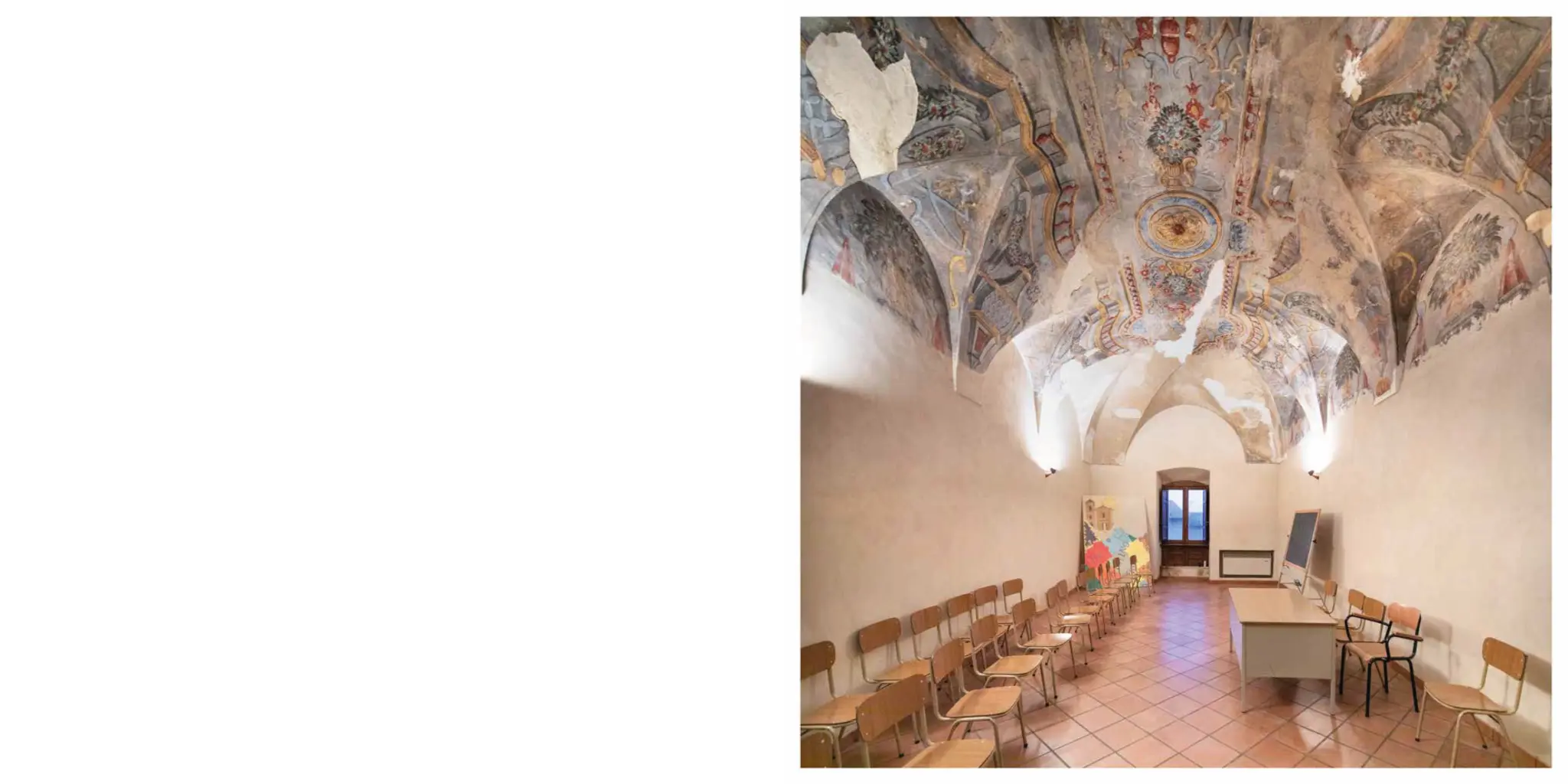
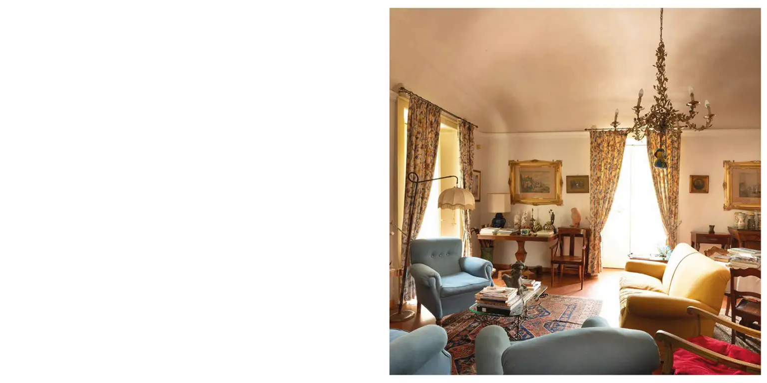
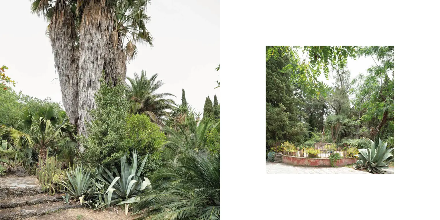
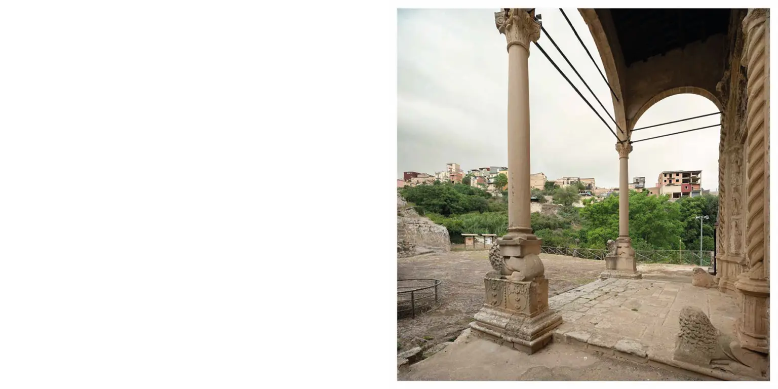
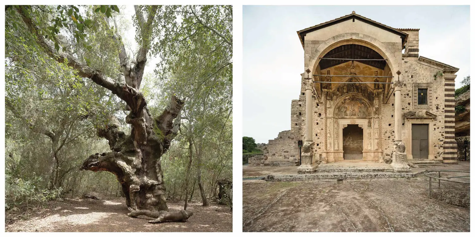
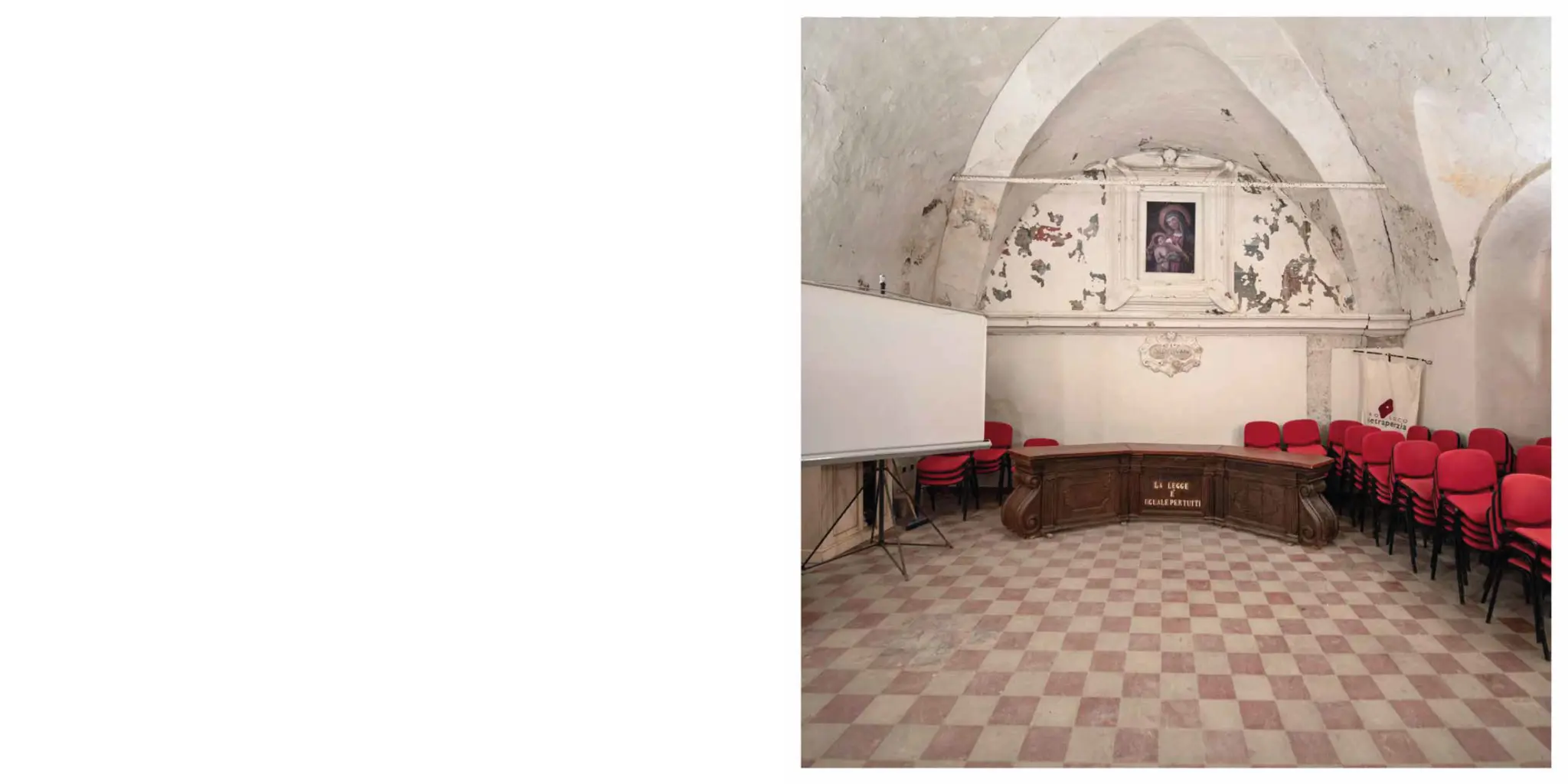
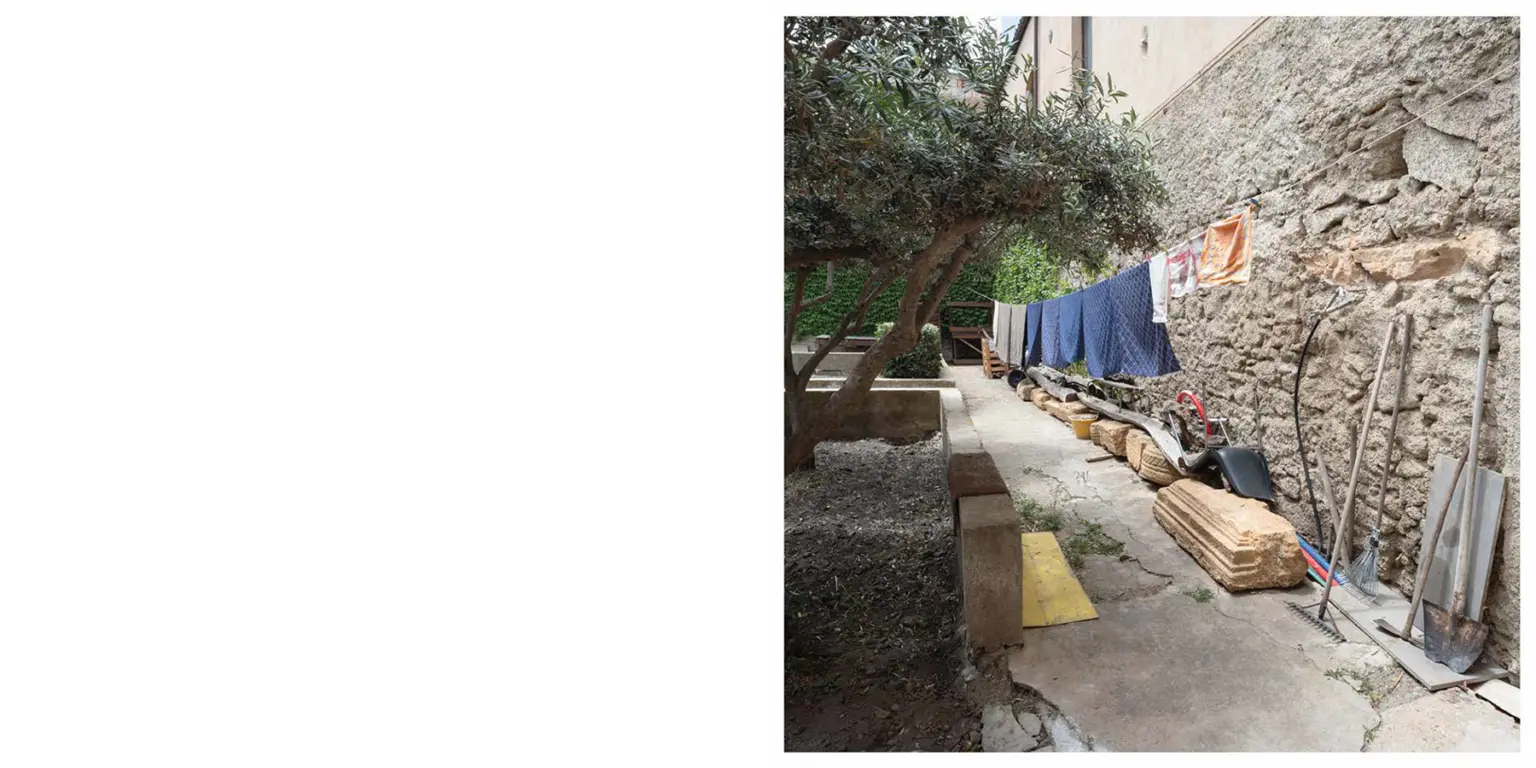
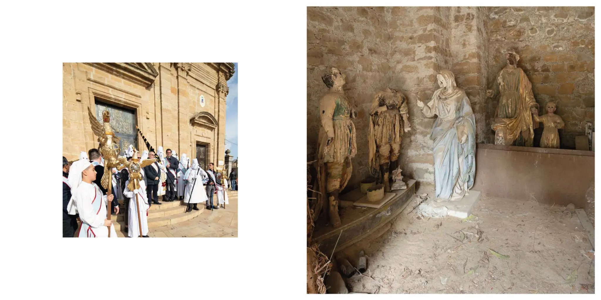
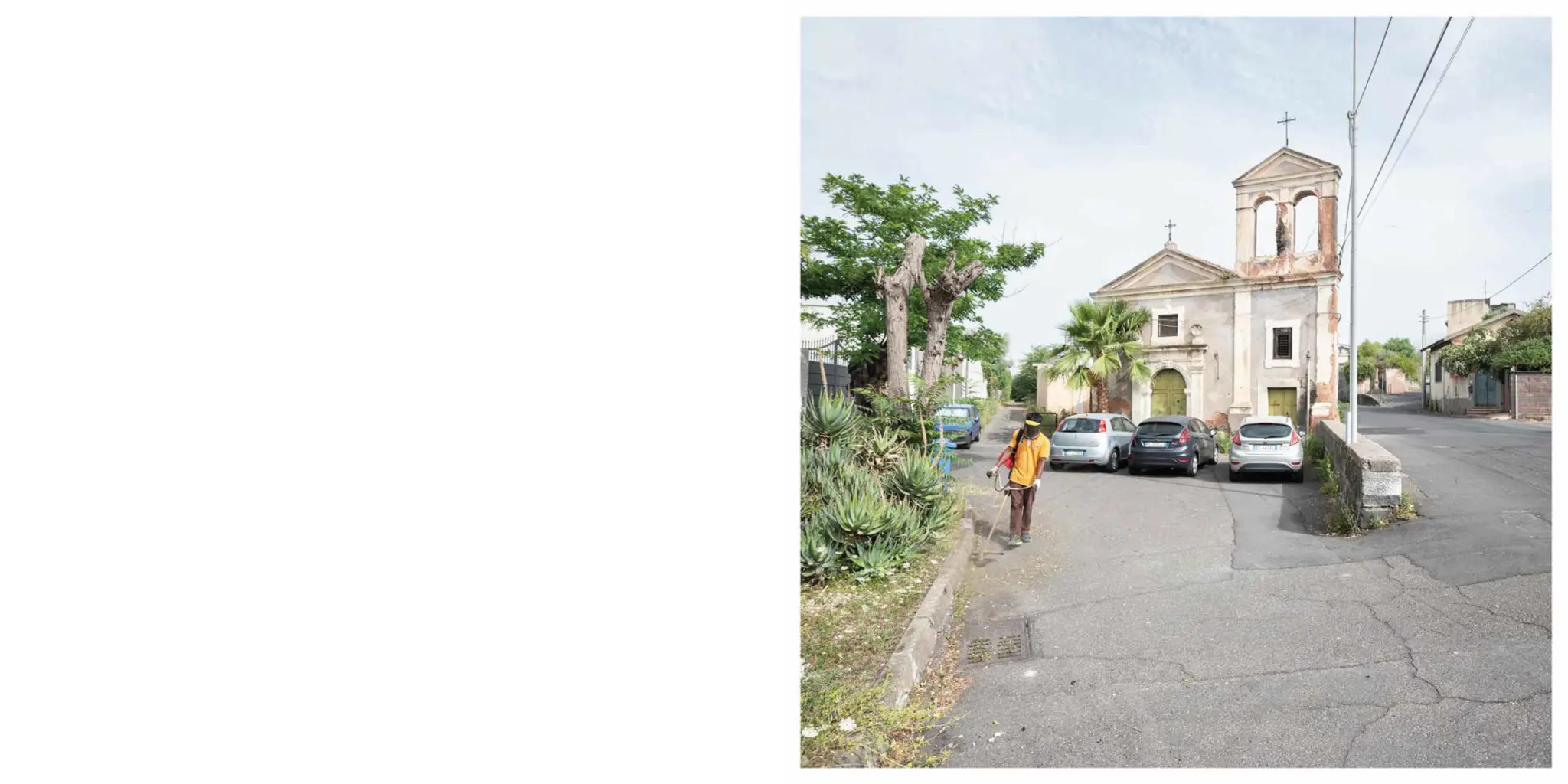
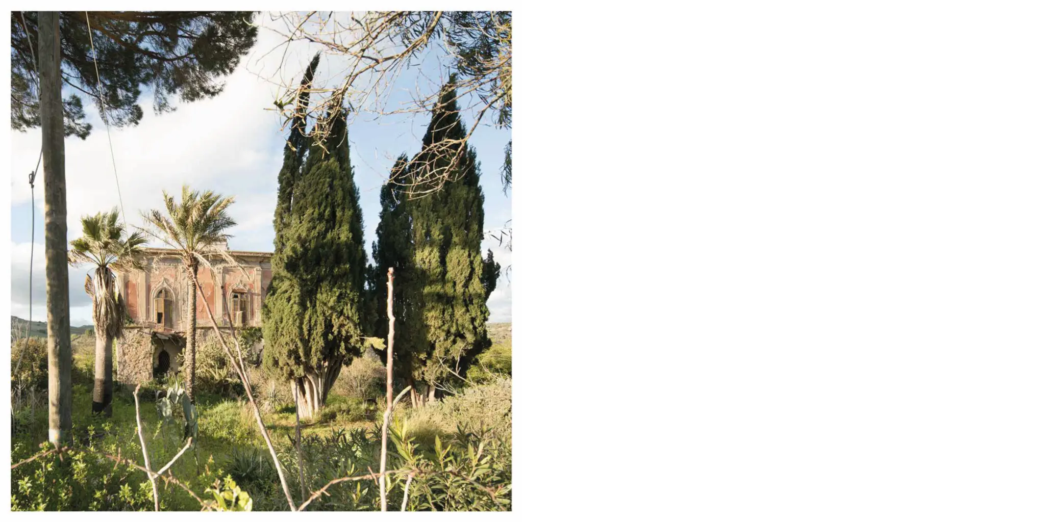
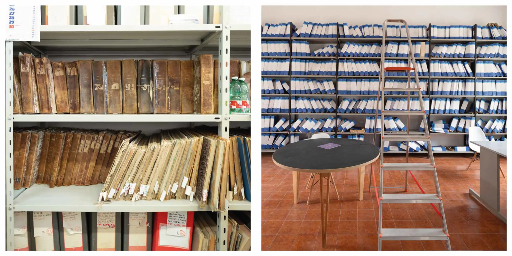
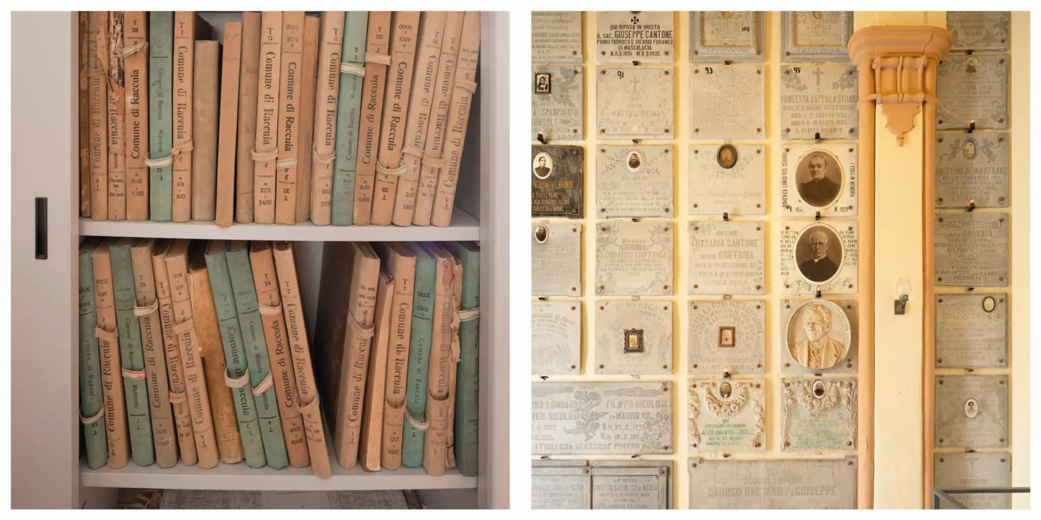
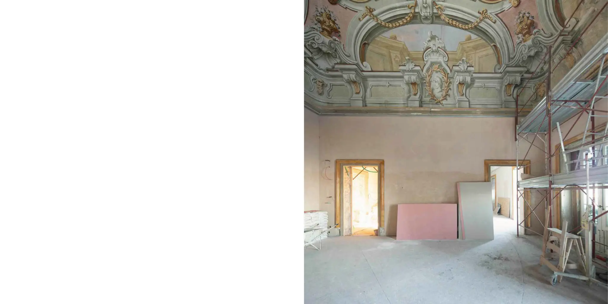
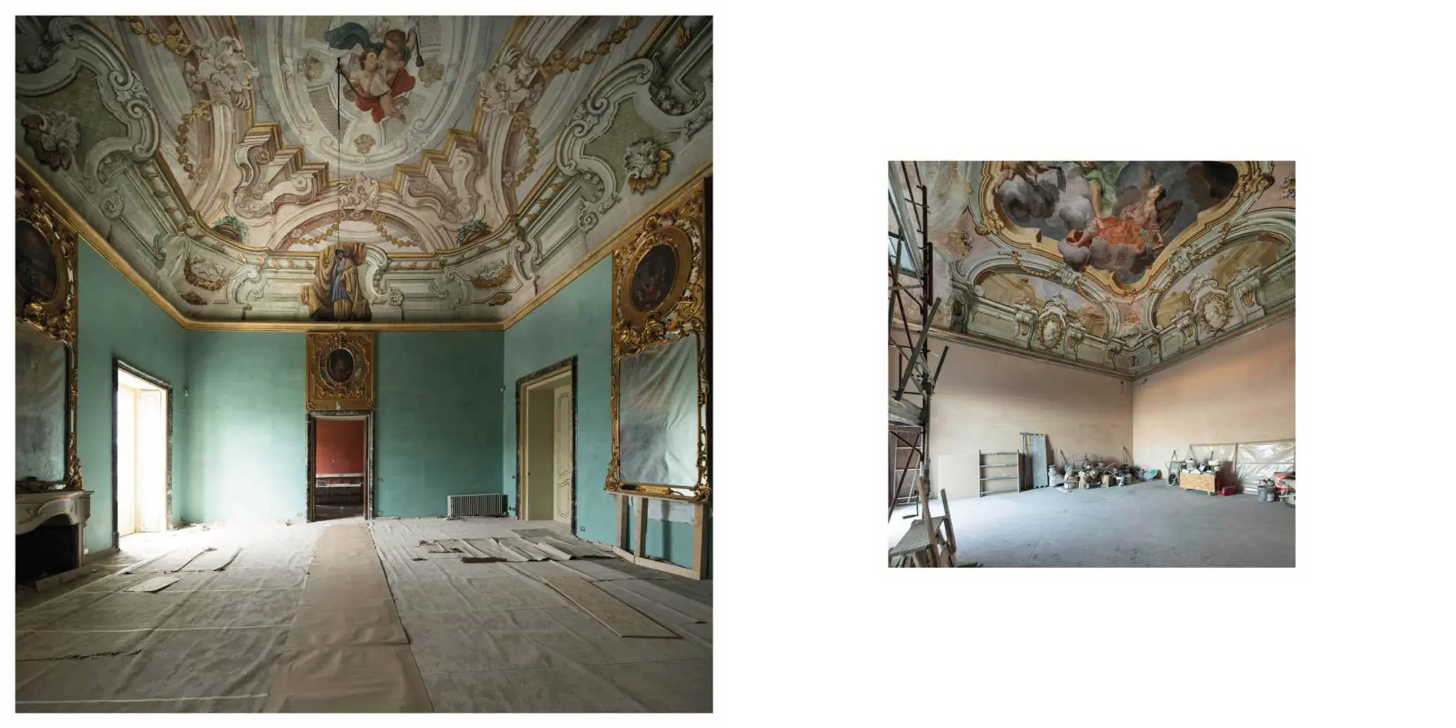
These images represent the current state of my long-standing research into the Sicilian landscape, poised between memory and the present. More specifically, the aim is to identify the traces of time in the ten fief-towns of the Branciforte family, as depicted in the pictorial maps from the second half of the eighteenth century held at Palazzo Butera in Palermo, and to compare them with present-day satellite images. Having taken stock of the transformations that have occurred, it became necessary to undertake a careful journey of exploration of these places, in order to “take their measure” and attempt possible representations, to understand what had happened in some towns compared with others, and why. The traces of the fiefs are in fact still visible everywhere; they have survived the passage of time, and even the building outrages of the 1950s. Faced with such a scenario, there was nothing left to do but walk the streets, town by town, often returning several times to the same places, visiting libraries, museums, churches, convents, gardens, public and private residences, and rereading the landscape that so strongly characterises this island through the different seasons.
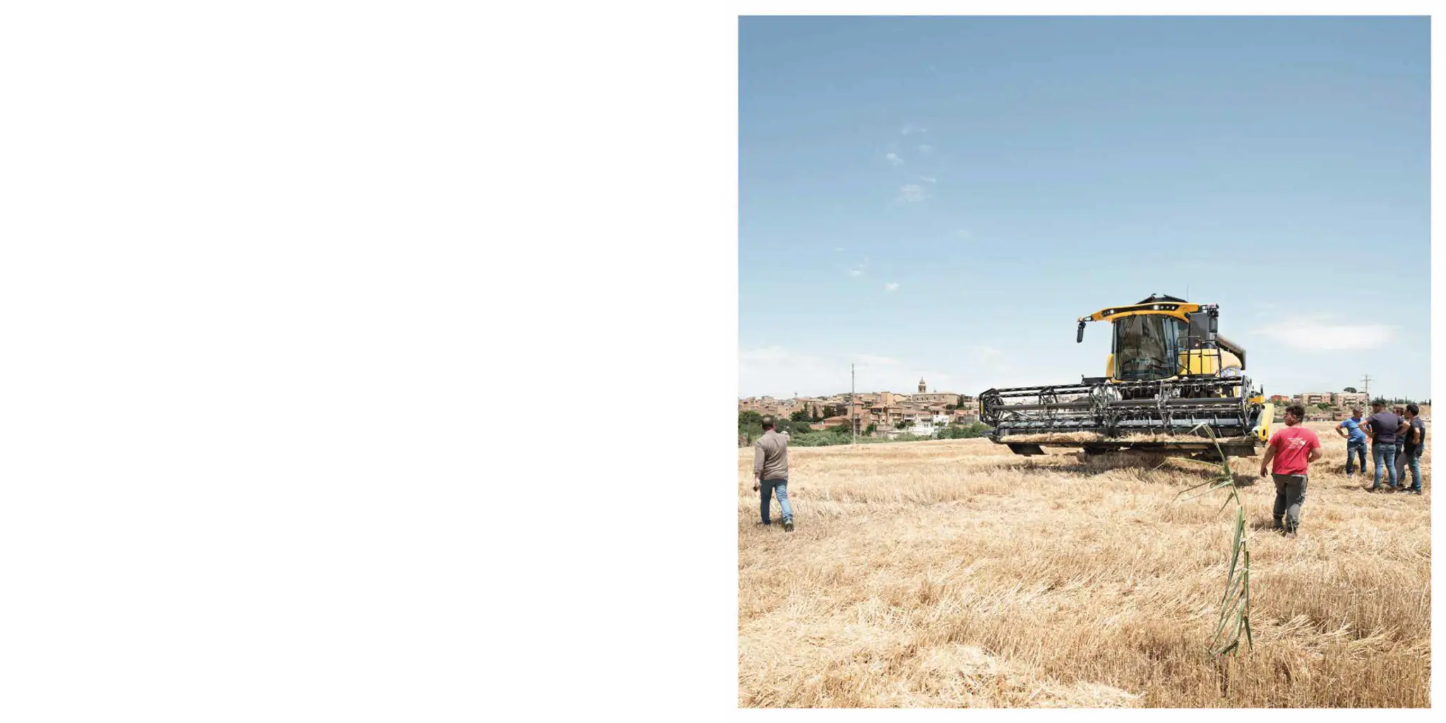
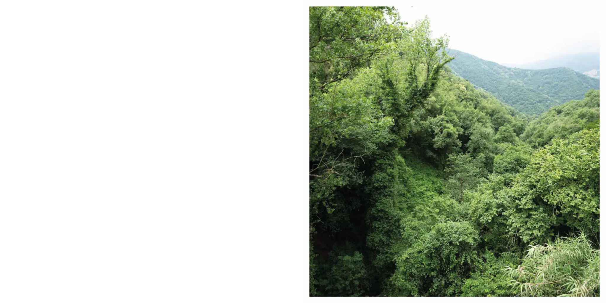
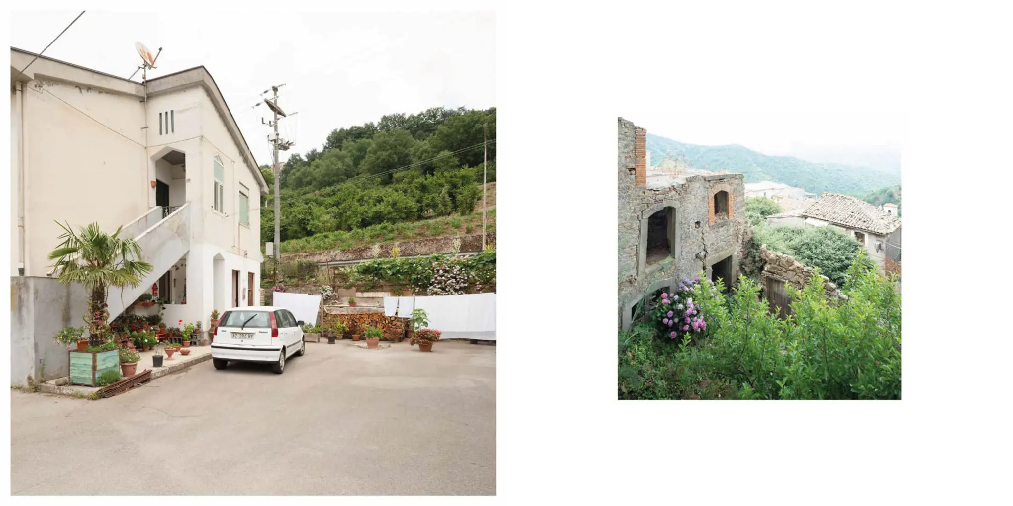
The photographic campaign thus revealed unexpected aspects, visible layers, and memories that have vanished or been knowingly concealed by those who should have protected them. In the paintings one notices, for example, that the countryside is always well cultivated and cared for. Today, with the passing of time, the same scenery survives only thanks to the care of the farmers who, with the wisdom of their rural culture, safeguard nature, the land and the landscape itself. Across all ten fiefs, farm estates, arable land and orchards still survive today. Among them one can see small rural hamlets, convents outside the walls, country churches, bridges and the regie trazzere, the historic royal droveways. Comparing the urban depictions in the paintings with today’s towns is more complex: some of the historic buildings shown on the maps can still be identified, and in most cases the street layout matches and makes orientation possible. Unfortunately, the expansion of the urban centres has also made the original historic cores hard to recognise. The broad squares have shrunk, and the gardens and vegetable plots have been built over, as have the grounds that once belonged to the convents.
Of the ten towns, Butera, set on a small plateau, is today the most compromised: unable to expand, it demolished its original buildings and rebuilt upwards with ‘creative’ additions. Mazzarino and Raccuja are the towns that have best protected their heritage. The images produced in the course of this research have been gathered in a concertina-fold book that allows the viewer to retrace, as if in a loop, the fascination of this Grand Tour of the island.